Chest opened
+${chestReward.xp} XP
Explorer
NOUVEAU ×${chestReward.collectible.quantity}
tapez pour fermer
Chest locked

Open chests in the app

Around Us is built for your phone — chests unlock when you walk, explore and capture nearby places.

Enable Location

We need your location to show you interesting places around you

Discover nearby places

Find interesting locations and hidden gems around you

Precise directions

Get accurate directions and distances to places

Your location is never shared with other users. It's only used when you tap the location button.

Log in to your account

Start exploring — it's free

Trusted by 72,885 travelers worldwide

Continue with Google
Continue with Apple
or

We will send you a code to connect

By continuing, you accept our Terms and Conditions and our Privacy Policy

Check your inbox

We've sent a pincode in your inbox. Please enter the code below.

Area code 812
Discussion Reviews Photo
38.2k Popularity

Area code 812, Telephone prefix in Southern Indiana, US

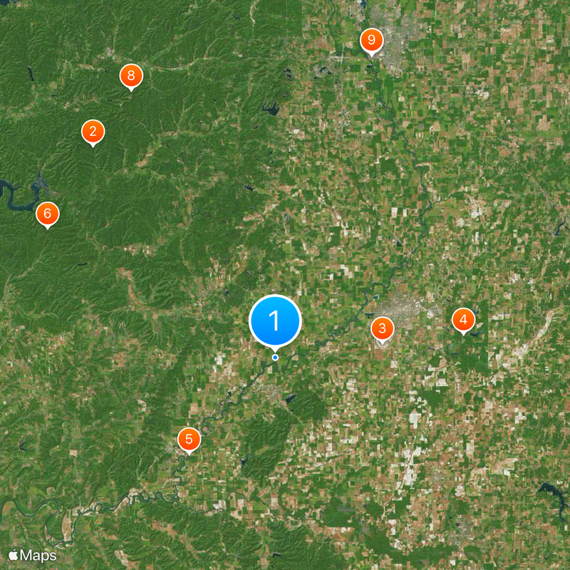
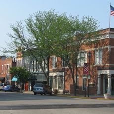
Area code 812 serves 38 counties across Southern Indiana and covers major cities such as Evansville, Bloomington, Terre Haute, and Columbus. This telephone network connects these different communities through a single dialing system.

AT&T established area code 812 in 1947 as one of the two original codes for Indiana, serving the southern portion of the state. This division worked alongside area code 317, which covered the northern and central regions.

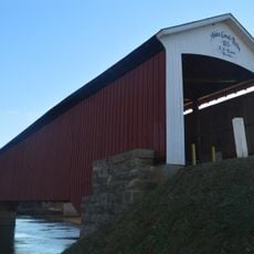
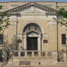
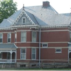
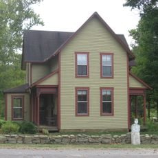
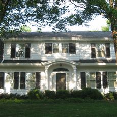
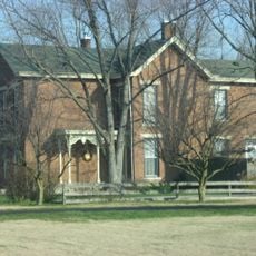
The region within area code 812 is shaped by manufacturing plants, universities, and businesses that form the backbone of daily working life. These institutions define how communities in Southern Indiana function and connect with one another.

Since 2015, an overlay code 930 requires ten-digit dialing for all calls within this service area. Using the complete phone number is necessary to ensure your call reaches the correct destination.

Despite its location in Indiana, this area code extends beyond state boundaries to include Ellis Park Race Course, a horse racing track situated in Kentucky near Evansville. This unusual reach reveals how communication networks follow practical needs rather than political borders.

The community of curious travelers

AroundUs brings together thousands of curated places, local tips, and hidden gems, enriched daily by 60,000 contributors worldwide.

Start exploring
Location
GPS coordinates
38.91000,-86.04000
Latest update
December 17, 2025 09:48
Around this place
Brown County State Park
United States of America

Brown County State Park

29.9 km
Freeman Field Mutiny
United States of America

Freeman Field Mutiny

11.5 km
Muscatatuck National Wildlife Refuge
United States of America

Muscatatuck National Wildlife Refuge

20.2 km
Medora Covered Bridge
United States of America

Medora Covered Bridge

13.8 km
Hickory Ridge Fire Tower
United States of America

Hickory Ridge Fire Tower

28 km
United States of America

The Republic Newspaper Office

33.9 km
Weed Patch Hill
United States of America

Weed Patch Hill

32.5 km
Bartholomew County Courthouse
United States of America

Bartholomew County Courthouse

34 km
Bell Ford Covered Bridge
United States of America

Bell Ford Covered Bridge

11.9 km
Jackson County Courthouse
United States of America

Jackson County Courthouse

3.5 km
Columbus Power House
United States of America

Columbus Power House

33.8 km
First Presbyterian Church
United States of America

First Presbyterian Church

13.9 km
Grandview Apostolic Church
United States of America

Grandview Apostolic Church

24.2 km
Cavanaugh Bridge
United States of America

Cavanaugh Bridge

18.4 km
Shields' Mill Covered Bridge
United States of America

Shields' Mill Covered Bridge

3.3 km
Bartholomew County Annex building
United States of America

Bartholomew County Annex building

34 km
Rising Sun Historic District
United States of America

Rising Sun Historic District

16.8 km
Carr High School
United States of America

Carr High School

17.8 km
Farmers Club
United States of America

Farmers Club

14.1 km
George H. Vehslage House
United States of America

George H. Vehslage House

14.1 km
Thomas A. Hendricks House
United States of America

Thomas A. Hendricks House

26.5 km
Seymour Commercial Historic District
United States of America

Seymour Commercial Historic District

14.1 km
T. Harlan and Helen Montgomery House
United States of America

T. Harlan and Helen Montgomery House

14 km
David Aikens House
United States of America

David Aikens House

30.9 km
Tiemeyer's Farm Market Petting Zoo
United States of America

Tiemeyer's Farm Market Petting Zoo

9.8 km
Hayden Historical Museum
United States of America

Hayden Historical Museum

27.6 km
Robert N. Stewart Bridge
United States of America

Robert N. Stewart Bridge

33.6 km
Jonathan Moore Pike I-65 Bridge
United States of America

Jonathan Moore Pike I-65 Bridge

33.1 km
Show the full map
Reviews
Share your experience

No review yet

Discussions
Start a discussion...

No discussion yet

« Area code 812 - Telephone prefix in Southern Indiana, US » is provided by Around Us (aroundus.com). Images and texts are derived from Wikimedia project under a Creative Commons license. You are allowed to copy, distribute, and modify copies of this page, under the conditions set by the license, as long as this note is clearly visible.

Discover hidden gems everywhere you go!

From secret cafés to breathtaking viewpoints, skip the crowded tourist spots and find places that match your style. Our app makes it easy with voice search, smart filtering, route optimization, and insider tips from travelers worldwide. Download now for the complete mobile experience.

Around Us App Screenshot

A unique approach to discovering new places

Le Figaro

All the places worth exploring

France Info

A tailor-made excursion in just a few clicks

20 Minutes

Around Us
Travel Guide & Maps
Download

Send to your phone

QR Code
1

Open the camera app on your mobile.

2

Point at the QR code with your camera. A notification will appear.

3

Tap the notification to open the link.