Chest opened
+${chestReward.xp} XP
Explorer
NOUVEAU ×${chestReward.collectible.quantity}
tapez pour fermer

See the monuments around you in AR Open chests in the app

Around Us is built for your phone — point your camera at the streets and discover the monuments and places around you in augmented reality. Around Us is built for your phone — chests unlock when you walk, explore and capture nearby places.

Enable Location

We need your location to show you interesting places around you

Discover nearby places

Find interesting locations and hidden gems around you

Precise directions

Get accurate directions and distances to places

Your location is never shared with other users. It's only used when you tap the location button.

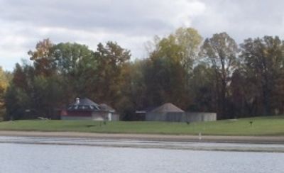
Bald Mountain Recreation Area

Log in to your account

Start exploring — it's free

Trusted by 86,782 travelers worldwide

Continue with Google
Continue with Apple
or

We will send you a code to connect

By continuing, you accept our Terms and Conditions and our Privacy Policy

Check your inbox

We've sent a pincode in your inbox. Please enter the code below.

Bald Mountain Recreation Area
Discussion Reviews 1 Photos
5.5k Popularity

Bald Mountain Recreation Area, Recreation area in Oakland County, Michigan.

Bald Mountain Recreation Area sprawls across nearly 4,600 acres with seventeen lakes, two trout streams, and marked trails winding through forests and open fields. This mix of water bodies and pathways creates varied options for different activities.

The land was once a ski club location before transforming into a public recreation area. This conversion preserved the natural features shaped by glacial activity in southeastern Michigan.

Visitors gather here throughout the year for winter sports like cross-country skiing and snowmobiling, as well as summer hiking and swimming. The variety of seasonal activities shapes how people connect with the landscape.

Visitors need a vehicle permit or annual park pass for entry. The main access point on East Greenshield Road offers parking and easy access to several trailheads.

The area has the most pronounced elevation changes in southeastern Michigan, with trails winding through massive glacial boulders and hardwood forests. This terrain was sculpted by the region's ice age history.

The community of curious travelers

AroundUs brings together thousands of curated places, local tips, and hidden gems, enriched daily by 60,000 contributors worldwide.
Start exploring
Location
GPS coordinates
42.77720,-83.21140
Latest update
September 12, 2026 05:15
Around this place
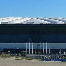
Pontiac Silverdome
United States of America

Pontiac Silverdome

9.4 mi
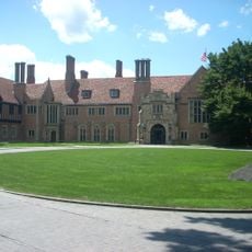
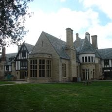
Meadow Brook Hall
United States of America

Meadow Brook Hall

7.3 mi
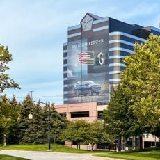
Chrysler Headquarters and Technology Center
United States of America

Chrysler Headquarters and Technology Center

8.6 mi
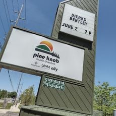
United States of America

Pine Knob

8.3 mi
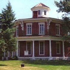
Loren Andrus Octagon House
United States of America

Loren Andrus Octagon House

9.8 mi
Pine Knob Music Theatre
United States of America

Pine Knob Music Theatre

8.5 mi
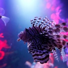
Sea Life Michigan
United States of America

Sea Life Michigan

6.7 mi
Scripps Mansion
United States of America

Scripps Mansion

4.1 mi
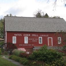
Yates Cider Mill
United States of America

Yates Cider Mill

9.3 mi
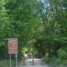
Paint Creek Trail
United States of America

Paint Creek Trail

4.2 mi
John Dodge House
United States of America

John Dodge House

7.3 mi
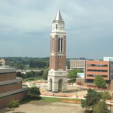
Elliott Tower
United States of America

Elliott Tower

7.2 mi
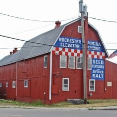
Rochester Grain Elevator
United States of America

Rochester Grain Elevator

7.7 mi
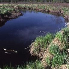
Lakeville Swamp
United States of America

Lakeville Swamp

4.2 mi
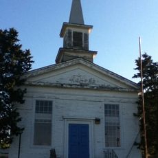
Sashabaw Presbyterian Church
United States of America

Sashabaw Presbyterian Church

8.6 mi
Meadow Brook Hall
United States of America

Meadow Brook Hall

7.3 mi
Stony Creek Village Historic District
United States of America

Stony Creek Village Historic District

7.5 mi
Romeo Historic District
United States of America

Romeo Historic District

10.2 mi
Eagle Theatre
United States of America

Eagle Theatre

10.5 mi
Oxford Downtown Historic District
United States of America

Oxford Downtown Historic District

4.3 mi
Wisner House
United States of America

Wisner House

10.1 mi
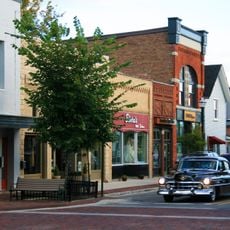
Lake Orion Historic District
United States of America

Lake Orion Historic District

1.5 mi
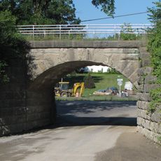
Indian Lake Road Stone Arch Bridge
United States of America

Indian Lake Road Stone Arch Bridge

2.3 mi
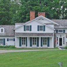
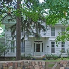
Eli and Sidney Teeter Albertson House
United States of America

Eli and Sidney Teeter Albertson House

5.3 mi
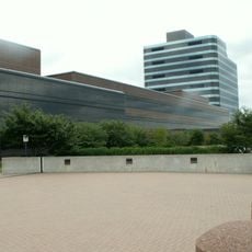
Chrysler Technology Center
United States of America

Chrysler Technology Center

8.6 mi
Horatio N. Howard House
United States of America

Horatio N. Howard House

9.9 mi
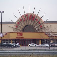
AMC Star Great Lakes Crossing 25
United States of America

AMC Star Great Lakes Crossing 25

7.1 mi
Lower Trout Lake Bathhouse Complex and Contact Station
United States of America

Lower Trout Lake Bathhouse Complex and Contact Station

2.7 mi
Show the full map
Reviews
Share your experience

No review yet

Discussions
Start a discussion...

No discussion yet

« Bald Mountain Recreation Area - Recreation area in Oakland County, Michigan » is provided by Around Us (aroundus.com). Images and texts are derived from Wikimedia project under a Creative Commons license. You are allowed to copy, distribute, and modify copies of this page, under the conditions set by the license, as long as this note is clearly visible.

Discover hidden gems everywhere you go!

From secret cafés to breathtaking viewpoints, skip the crowded tourist spots and find places that match your style. Our app makes it easy with voice search, smart filtering, route optimization, and insider tips from travelers worldwide. Download now for the complete mobile experience.
Around Us App Screenshot

A unique approach to discovering new places

Le Figaro

All the places worth exploring

France Info

A tailor-made excursion in just a few clicks

20 Minutes

Around Us
Travel Guide & Maps
Download

Send to your phone

QR Code
1

Open the camera app on your mobile.

2

Point at the QR code with your camera. A notification will appear.

3

Tap the notification to open the link.