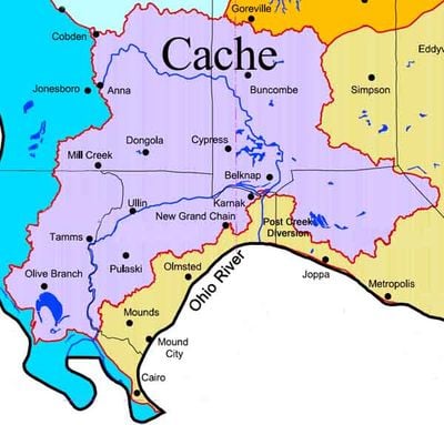
Cache River, River and National Natural Landmark in southeastern Illinois, United States
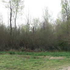
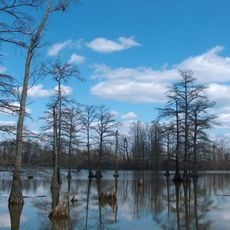
The Cache River is a river and National Natural Landmark in southeastern Illinois, flowing through several counties and forming the largest wetland and cypress swamp network in the state. It covers both open stretches of water and densely forested swamp areas with standing water among the trees.
Native American peoples traveled and traded along this river long before European contact, and French voyageurs later gave it the name Cache. Parts of the land were drained for farming in the 19th and 20th centuries, and conservation efforts in later decades worked to restore the wetlands.
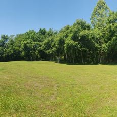
The name Cache comes from a French word for a hidden storage place, and locals still use this river as a reference point for the surrounding wetland region. Visitors can walk through the forested sections and see how people come here regularly to fish, paddle, and watch birds.
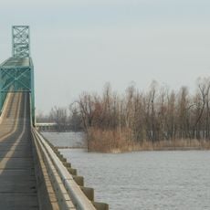
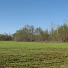
There are several access points along the river that allow for kayaking, hiking, and wildlife watching on marked trails and water routes. Water activities are easiest in warmer months, while the trails stay open year-round for walking and birdwatching.
Some of the cypress trees standing in the swamp are over 1,000 years old, making them among the oldest living things in Illinois. This area is also considered the northernmost cypress swamp in North America, which is unusual for a species more common in the Deep South.
The community of curious travelers
AroundUs brings together thousands of curated places, local tips, and hidden gems, enriched daily by 60,000 contributors worldwide.