·

Enable Location

We need your location to show you interesting places around you

Discover nearby places

Find interesting locations and hidden gems around you

Precise directions

Get accurate directions and distances to places

Your location is never shared with other users. It's only used when you tap the location button.

Camp Chesterfield

Log in to your account

Start exploring — it's free

Trusted by 62,752 travelers worldwide

Continue with Google
Continue with Apple
or

We will send you a code to connect

By continuing, you accept our Terms and Conditions and our Privacy Policy

Check your inbox

We've sent a pincode in your inbox. Please enter the code below.

Camp Chesterfield, Spiritualist camp in Chesterfield, United States.

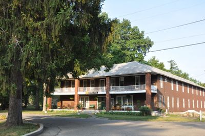
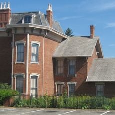
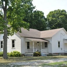
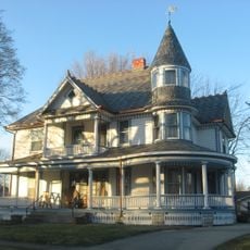
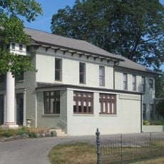
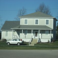
Camp Chesterfield is a historic spiritual campus spanning 44 acres in northern Indiana that serves as a gathering place for those with spiritual interests. The site includes a cathedral, chapel, hotel, garden of prayer, labyrinth, and numerous other structures arranged across the grounds.

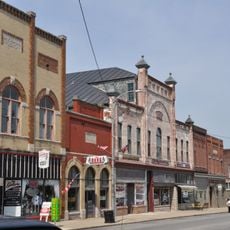
Founded in 1891, the site grew from temporary tents and wooden structures into permanent buildings over several decades. This transformation reflects the expansion of the spiritualist movement in Indiana and its establishment as an institutional center.

The grounds hold buildings named after spiritual traditions and a trail of world religions that invites visitors to walk and reflect on different faith practices. Many who come here find the space encourages personal contemplation and connection with diverse spiritual perspectives.

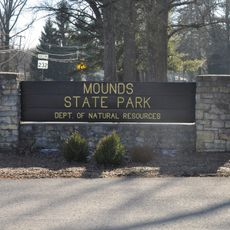
The camp is accessible from the Interstate 69 corridor and reachable via State Road 32 from Chesterfield. Visitors should plan for a leisurely walk since buildings and pathways are spread across the entire property.

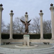
The property contains a Native American memorial and totem pole, features that show how this center brings together perspectives from different spiritual traditions. These elements serve as tangible reminders of the inclusive spiritual vision that guides the space.

The community of curious travelers

AroundUs brings together thousands of curated places, local tips, and hidden gems, enriched daily by 60,000 contributors worldwide.

Start exploring
Location
GPS coordinates
40.11667,-85.59722
Latest update
December 9, 2025 18:44
Around this place
Mounds State Park
United States of America

Mounds State Park

2.7 km
Scheumann Stadium
United States of America

Scheumann Stadium

18.9 km
Beneficence
United States of America

Beneficence

18.3 km
Paramount Theatre
United States of America

Paramount Theatre

7.4 km
Pendleton Historic District
United States of America

Pendleton Historic District

18 km
Shafer Tower
United States of America

Shafer Tower

18.8 km
David Owsley Museum of Art Ball State University
United States of America

David Owsley Museum of Art Ball State University

18.4 km
Anderson Downtown Historic District
United States of America

Anderson Downtown Historic District

7.2 km
Christy Woods
United States of America

Christy Woods

18 km
Gruenewald House
United States of America

Gruenewald House

6.9 km
Anderson Center for the Arts
United States of America

Anderson Center for the Arts

7.2 km
Anderson Bank Building
United States of America

Anderson Bank Building

7.4 km
Wheeler Orchid Collection and Species Bank
United States of America

Wheeler Orchid Collection and Species Bank

18 km
Fall Creek Meeting House
United States of America

Fall Creek Meeting House

16.6 km
West Central Historic District
United States of America

West Central Historic District

8.5 km
John W. Hedrick House
United States of America

John W. Hedrick House

8.6 km
Madison County Bridge No. 149
United States of America

Madison County Bridge No. 149

16.9 km
Martin Hofherr Farm
United States of America

Martin Hofherr Farm

11.6 km
George Makepeace House
United States of America

George Makepeace House

390 m
Otto Carmichael House
United States of America

Otto Carmichael House

18.9 km
Westwood Historic District
United States of America

Westwood Historic District

18.4 km
West Eighth Street Historic District
United States of America

West Eighth Street Historic District

7.9 km
Richwood Evangelical Lutheran Church
United States of America

Richwood Evangelical Lutheran Church

8.8 km
Riverside Historic District
United States of America

Riverside Historic District

18.9 km
Middletown Commercial Historic District
United States of America

Middletown Commercial Historic District

8.8 km
Job Garner-Jacob W. Miller House
United States of America

Job Garner-Jacob W. Miller House

16.1 km
Sno Castle
United States of America

Sno Castle

7.3 km
LaFollette Complex
United States of America

LaFollette Complex

18.9 km
Show the full map
« Camp Chesterfield - Spiritualist camp in Chesterfield, United States » is provided by Around Us (aroundus.com). Images and texts are derived from Wikimedia project under a Creative Commons license. You are allowed to copy, distribute, and modify copies of this page, under the conditions set by the license, as long as this note is clearly visible.

Discover hidden gems everywhere you go!

From secret cafés to breathtaking viewpoints, skip the crowded tourist spots and find places that match your style. Our app makes it easy with voice search, smart filtering, route optimization, and insider tips from travelers worldwide. Download now for the complete mobile experience.

Around Us App Screenshot

A unique approach to discovering new places

Le Figaro

All the places worth exploring

France Info

A tailor-made excursion in just a few clicks

20 Minutes

Around Us
Travel Guide & Maps
Download

Send to your phone

QR Code
1

Open the camera app on your mobile.

2

Point at the QR code with your camera. A notification will appear.

3

Tap the notification to open the link.