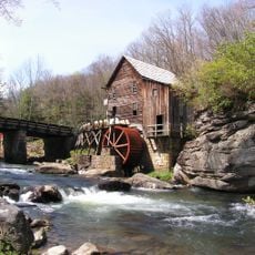
Carnifex Ferry Battlefield State Park, Civil War battlefield site in Nicholas County, United States.
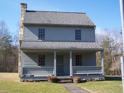
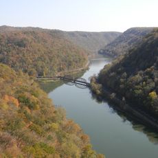
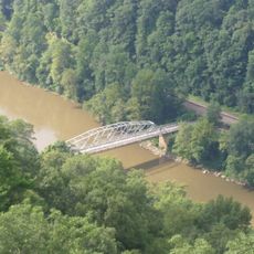
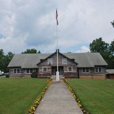
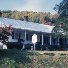
Carnifex Ferry Battlefield State Park is a 156-acre park situated along the Gauley River Canyon rim, featuring three river overlooks, hiking trails, and the Patterson House Museum. The park preserves the landscape and structures connected to the battle of September 1861.
The Battle of Carnifex Ferry on September 10, 1861 enabled Union forces to secure western Virginia and directly contributed to West Virginia's statehood. This engagement was a critical moment in the early phases of war in the region.
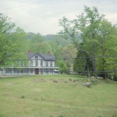
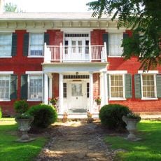
The Patterson House Museum displays military equipment, photographs, and documents from the American Civil War period that visitors can explore today.
The park offers picnic areas, sports facilities, hiking paths, and seasonal guided tours running from Memorial Day through Labor Day for visitors. The grounds are most active during these months, though the park remains accessible year-round.
The park marks exactly where Union General William Rosecrans directed artillery fire against Confederate troops during the engagement. This vantage point remains part of the preserved battle layout that visitors can explore today.
The community of curious travelers
AroundUs brings together thousands of curated places, local tips, and hidden gems, enriched daily by 60,000 contributors worldwide.