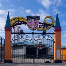
Coney Island Creek, Tidal inlet in Brooklyn, United States.
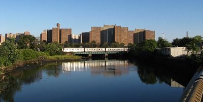
Coney Island Creek is a tidal inlet in southern Brooklyn that separates Coney Island from the rest of the borough, running between Gravesend Bay and Shell Road. Both shores are lined with small parks and developed areas, giving the waterway an urban character throughout.
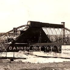
The creek was once a broad salt marsh estuary that reached far inland, covering a much larger area than it does today. Landfill and industrial work during the 1800s and early 1900s narrowed it to its current form.
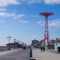
The shores draw locals who fish, watch birds, and simply spend time near the water in the small parks along the banks. The creek feels like a working-class waterfront rather than a tourist destination, used more by neighbors than by outsiders.
Small parks on both shores offer walking access and open views of the water, though some stretches are harder to reach than others. Visiting during daylight hours makes it easier to navigate the area and find the best access points.
Several abandoned vessels rest on the bottom of the creek, including a submarine that has sat there for decades. None of them are visible from the surface, but they are known to divers and local historians who have documented them over the years.
The community of curious travelers
AroundUs brings together thousands of curated places, local tips, and hidden gems, enriched daily by 60,000 contributors worldwide.