Chest opened
+${chestReward.xp} XP
Explorer
NOUVEAU ×${chestReward.collectible.quantity}
tapez pour fermer
Chest locked

Open chests in the app

Around Us is built for your phone — chests unlock when you walk, explore and capture nearby places.

Enable Location

We need your location to show you interesting places around you

Discover nearby places

Find interesting locations and hidden gems around you

Precise directions

Get accurate directions and distances to places

Your location is never shared with other users. It's only used when you tap the location button.

Cuyahoga Valley Scenic Railroad

Log in to your account

Start exploring — it's free

Trusted by 73,045 travelers worldwide

Continue with Google
Continue with Apple
or

We will send you a code to connect

By continuing, you accept our Terms and Conditions and our Privacy Policy

Check your inbox

We've sent a pincode in your inbox. Please enter the code below.

Cuyahoga Valley Scenic Railroad
Discussion Reviews 1 Photos
16k Popularity

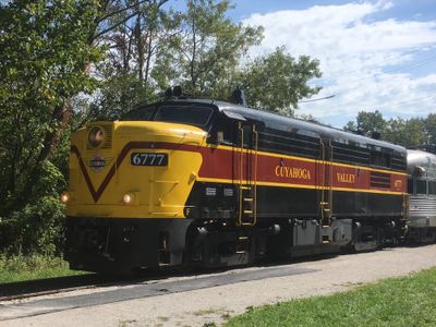
Cuyahoga Valley Scenic Railroad, railway line in the United States of America

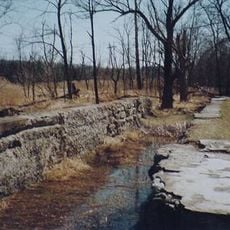
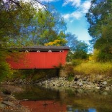
Cuyahoga Valley Scenic Railroad is a railway line in Ohio that runs through Cuyahoga Valley National Park, allowing passengers to experience the landscape from a train's perspective. The route follows the Cuyahoga River and passes through wooded areas and open fields, operating from two main stations: Rockside and Akron Northside.

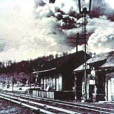
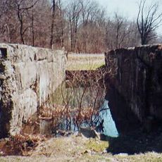
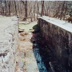
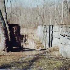
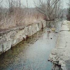
The railway was originally built in 1880 to transport coal to neighboring cities before later becoming linked to the Baltimore & Ohio Railroad through the Valley Railway. In the 1970s, the line was revived when a group brought back scenic rides through the valley, establishing a tradition that continues today.

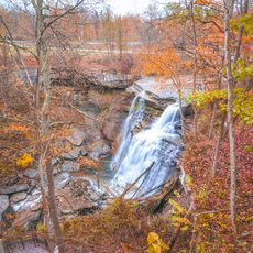
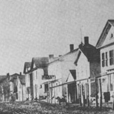
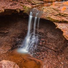
The train passes through an area with deep ties to local heritage and the outdoors. For people in the region, riding offers a way to explore the landscape without walking long distances or driving.

The stations are easy to reach and have simple facilities for travelers and luggage. It is best to arrive about 10 minutes before departure and wave your arm to signal the train operator that you are ready to board.

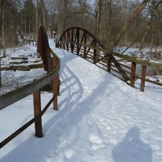
From June to October, the Explorer program lets visitors bike or walk along trails near the river, then return to the starting point by train. This program combines active outdoor fun with a relaxing ride, offering a two-part way to enjoy the valley.

The community of curious travelers

AroundUs brings together thousands of curated places, local tips, and hidden gems, enriched daily by 60,000 contributors worldwide.

Start exploring
Location
Official opening
1972
GPS coordinates
41.24220,-81.54920
Latest update
February 19, 2026 23:00
Around this place
Blossom Music Center
United States of America

Blossom Music Center

5.7 km
Hale Farm and Village
United States of America

Hale Farm and Village

6.6 km
Brandywine Falls
United States of America

Brandywine Falls

4 km
Boston Mills Historic District
United States of America

Boston Mills Historic District

2.6 km
Loomis Observatory
United States of America

Loomis Observatory

8.5 km
Jaite Mill Historic District
United States of America

Jaite Mill Historic District

4.8 km
Virginia Kendall State Park Historic District
United States of America

Virginia Kendall State Park Historic District

3.6 km
Jim Brown House
United States of America

Jim Brown House

7.2 km
Everett Historic District
United States of America

Everett Historic District

4.7 km
Valley Railway Historic District
United States of America

Valley Railway Historic District

2.4 km
Hudson Historic District
United States of America

Hudson Historic District

9 km
Daniel Tilden House
United States of America

Daniel Tilden House

3.3 km
Peninsula Village Historic District
United States of America

Peninsula Village Historic District

147 m
Jim Brown Tavern
United States of America

Jim Brown Tavern

2.5 km
Coonrad Ranger Station
United States of America

Coonrad Ranger Station

4.7 km
Allen Welton House
United States of America

Allen Welton House

3 km
Barker Village Site
United States of America

Barker Village Site

8.9 km
Camp Manatoc Dining Hall
United States of America

Camp Manatoc Dining Hall

2.9 km
Vaughn Site
United States of America

Vaughn Site

5.5 km
Lock No. 34
United States of America

Lock No. 34

5.4 km
Lock No. 33
United States of America

Lock No. 33

3.9 km
Furnace Run Aqueduct
United States of America

Furnace Run Aqueduct

4.9 km
Lock No. 32
United States of America

Lock No. 32

2.7 km
Lock No. 31
United States of America

Lock No. 31

1.1 km
Lock No. 26
United States of America

Lock No. 26

6.9 km
Blue Hen Falls
United States of America

Blue Hen Falls

2.7 km
Everett Covered Bridge
United States of America

Everett Covered Bridge

5.1 km
Hunt House Visitor Information Center
United States of America

Hunt House Visitor Information Center

5 km
Show the full map
Reviews
Share your experience

No review yet

Discussions
Start a discussion...

No discussion yet

« Cuyahoga Valley Scenic Railroad - railway line in the United States of America » is provided by Around Us (aroundus.com). Images and texts are derived from Wikimedia project under a Creative Commons license. You are allowed to copy, distribute, and modify copies of this page, under the conditions set by the license, as long as this note is clearly visible.

Discover hidden gems everywhere you go!

From secret cafés to breathtaking viewpoints, skip the crowded tourist spots and find places that match your style. Our app makes it easy with voice search, smart filtering, route optimization, and insider tips from travelers worldwide. Download now for the complete mobile experience.

Around Us App Screenshot

A unique approach to discovering new places

Le Figaro

All the places worth exploring

France Info

A tailor-made excursion in just a few clicks

20 Minutes

Around Us
Travel Guide & Maps
Download

Send to your phone

QR Code
1

Open the camera app on your mobile.

2

Point at the QR code with your camera. A notification will appear.

3

Tap the notification to open the link.