Devils Backbone Wilderness, Protected wilderness area in Mark Twain National Forest, Missouri, US.
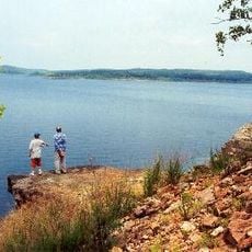
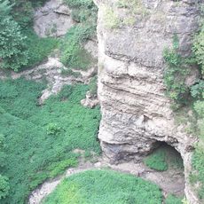
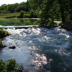
Devils Backbone Wilderness is a protected area covering roughly 6,700 acres (2,700 hectares) of Ozark terrain with limestone cliffs, deep valleys, and ridges densely forested with oak and hickory trees. The landscape rises and falls across multiple elevation zones, with streams running through steep-sided hollows.
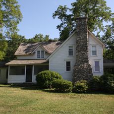
The area gained official wilderness protection in 1980, setting aside the land from development. A boundary adjustment came in 1998 to exclude parcels with existing structures and keep the core as undeveloped forest and rock.
American Indian peoples once lived across these ridges and valleys, leaving traces of their presence in the landscape. Walkers today move through terrain that held deep meaning for those who lived here long before European settlement.
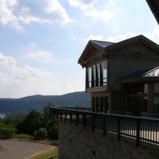
More than 13 miles (20 kilometers) of marked trails crisscross the wilderness, open to hikers and horseback riders of different abilities. Access on foot works best, and visitors should be ready for changing weather and steep grades throughout the terrain.
The elevation span is striking, with the ridge rising roughly 1,000 feet (300 meters) above the North Fork White River below. This dramatic change in height creates several distinct forest zones and habitats within the same compact area.
The community of curious travelers
AroundUs brings together thousands of curated places, local tips, and hidden gems, enriched daily by 60,000 contributors worldwide.