East Second Street Commercial Historic District

Log in to your account

AroundUs is a community-driven map of interesting places, built by curious explorers like you. It grows with every review, story, and photo you share.
Connect to save your favorite spots, contribute locations, and create personalized routes.
Continue with Google
Continue with Apple
Continue with X
Continue with Facebook
Continue with email
By continuing, you accept our Terms and Conditions and our Privacy Policy
Create an account
Add to collection
Map
Suggest a change
Share

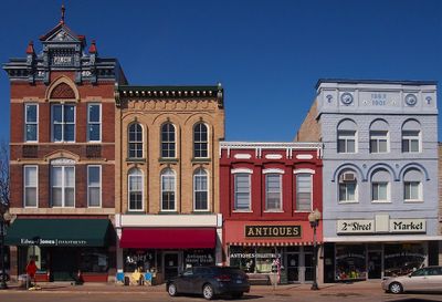
East Second Street Commercial Historic District, Historic district in Hastings, US.

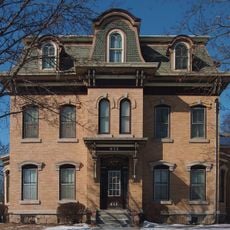
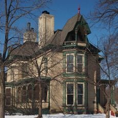
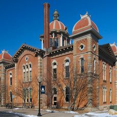
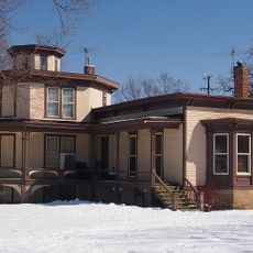
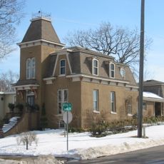
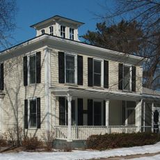
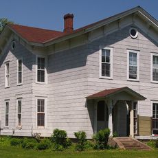
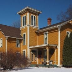
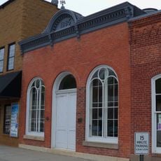
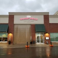
The East Second Street Commercial Historic District is a collection of roughly forty buildings displaying Late Victorian and Federal architectural styles arranged along a main commercial street. The structures range from simple wooden construction built in the 1840s to elaborate brick buildings erected during the early 1900s.

The district developed from the mid-1800s as Hastings grew into a trading center, and it received National Register designation in 1984. Expanded boundaries were approved in 2018 to include additional structures that had not been part of the original survey.

The buildings reflect how commerce and daily life changed across generations, from modest wooden shops to substantial brick structures designed for both foot traffic and vehicles. Walking through the street, you can see how residents relied on these businesses for their everyday needs and community gathering.

The district is easy to explore on foot since all buildings line a straight street, giving clear views of the different architectural styles. The lighting is best in early morning or late afternoon when sunlight rakes across the brick facades and reveals architectural details more clearly.

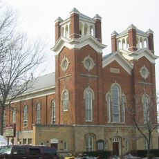
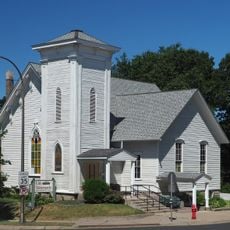
A Swedish Evangelical Lutheran Church from 1886 stands among the commercial brick buildings, showing that religious congregations were woven into the downtown fabric. The sight of a church surrounded by storefronts reveals how commerce and spiritual life existed side by side in this district.

Location: Hastings

GPS coordinates: 44.74439,-92.85032

Latest update: December 14, 2025 14:21

Photos
Around this place
Afton State Park
United States of America

Afton State Park

14.2 km
Lock and Dam No. 2
United States of America

Lock and Dam No. 2

2.2 km
Kinnickinnic State Park
United States of America

Kinnickinnic State Park

12.4 km
Hastings High Bridge
United States of America

Hastings High Bridge

297 m
Fasbender Clinic
United States of America

Fasbender Clinic

1.2 km
William G. LeDuc House
United States of America

William G. LeDuc House

1.7 km
Ramsey Mill and Old Mill Park
United States of America

Ramsey Mill and Old Mill Park

2.1 km
Hastings Rail Bridge
United States of America

Hastings Rail Bridge

325 m
Prescott Drawbridge
United States of America

Prescott Drawbridge

3.6 km
Cordenio Severance House
United States of America

Cordenio Severance House

12.4 km
Chimney Rock Scientific and Natural Area
United States of America

Chimney Rock Scientific and Natural Area

12.3 km
VanDyke–Libby House
United States of America

VanDyke–Libby House

583 m
Rudolph Latto House
United States of America

Rudolph Latto House

551 m
Dakota County Courthouse
United States of America

Dakota County Courthouse

224 m
First Presbyterian Church
United States of America

First Presbyterian Church

521 m
Norrish House
United States of America

Norrish House

402 m
West Second Street Residential Historic District
United States of America

West Second Street Residential Historic District

402 m
Hastings Methodist Episcopal Church
United States of America

Hastings Methodist Episcopal Church

677 m
Ignatius Eckert House
United States of America

Ignatius Eckert House

643 m
John P. Furber House
United States of America

John P. Furber House

11.3 km
Byron Howes House
United States of America

Byron Howes House

634 m
District No. 34 School
United States of America

District No. 34 School

2.7 km
H. S. Miller Bank
United States of America

H. S. Miller Bank

3.9 km
MacDonald–Todd House
United States of America

MacDonald–Todd House

731 m
Daniel Smith House
United States of America

Daniel Smith House

3.8 km
Park Grove Bowl
United States of America

Park Grove Bowl

14.5 km
Cottage Grove Spalsh Pad
United States of America

Cottage Grove Spalsh Pad

13.6 km
Hy-Vee
United States of America

Hy-Vee

12.8 km
Show the full map
Reviews

Visited this place? Tap the stars to rate it and share your experience / photos with the community! Try now! You can cancel it anytime.

« East Second Street Commercial Historic District - Historic district in Hastings, US » is provided by Around Us (aroundus.com). Images and texts are derived from Wikimedia project under a Creative Commons license. You are allowed to copy, distribute, and modify copies of this page, under the conditions set by the license, as long as this note is clearly visible.

Discover hidden gems everywhere you go!

From secret cafés to breathtaking viewpoints, skip the crowded tourist spots and find places that match your style. Our app makes it easy with voice search, smart filtering, route optimization, and insider tips from travelers worldwide. Download now for the complete mobile experience.

Around Us App Screenshot

A unique approach to discovering new places

Le Figaro

All the places worth exploring

France Info

A tailor-made excursion in just a few clicks

20 Minutes