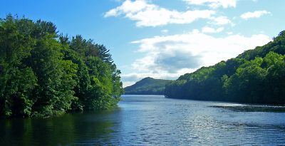
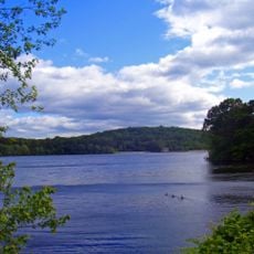
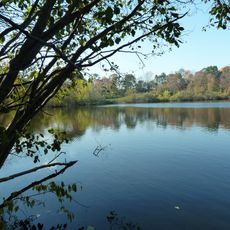
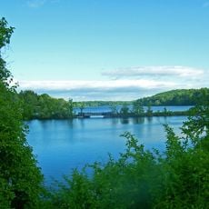
East Branch Reservoir, body of water
East Branch Reservoir is a man-made lake in Putnam County, near the town of Brewster in New York State, formed by damming the East Branch of the Croton River. The water is surrounded by wooded shores that give the place a natural look, with the dam structure visible at one end.
The reservoir was completed in 1891 as part of the effort to supply New York City with fresh water, a project that reshaped this part of Putnam County. The villages of Southeast Center and Milltown were flooded to make room for the water, and their remains can still surface when the water level drops.
The reservoir is also known as Sodom Reservoir, a name that recalls the village of Sodom that was flooded when the dam was built. Fishing is the main reason most visitors come here today, and the shoreline draws anglers looking for a spot away from busier lakes.
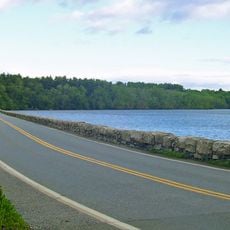
A free watershed access permit is required to visit and must be arranged before arrival, along with boat registration if you plan to bring one. The site is close to Route 22 by car, and the shoreline can be explored on foot along informal paths that run near the water.
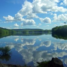
Water leaving this reservoir travels through a tunnel that connects it directly to Bog Brook Reservoir before continuing its journey toward New York City. In winter, parts of the surface can freeze over, and the site becomes a spot for ice fishing, drawing a different kind of visitor than in warmer months.
The community of curious travelers
AroundUs brings together thousands of curated places, local tips, and hidden gems, enriched daily by 60,000 contributors worldwide.