Geography of Uzbekistan, Central Asian landlocked territory between Kazakhstan and Afghanistan.
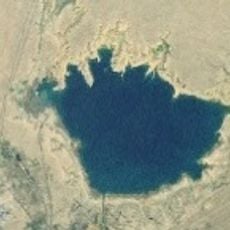
The geography of Uzbekistan covers around 447,000 square kilometers (172,500 square miles) with three main landscape types: the Kyzylkum Desert, the Tian Shan mountains, and two major river systems. The Amu Darya and Syr Darya shape the territory, with water playing a central role in this dry region.
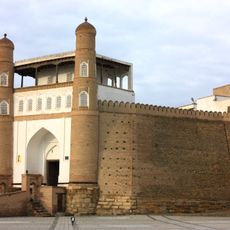
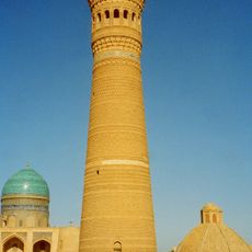
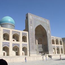
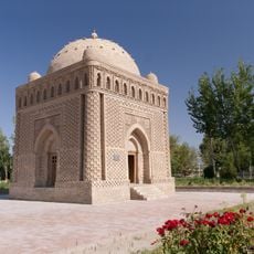
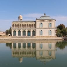
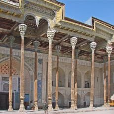
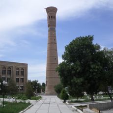
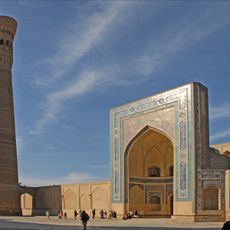
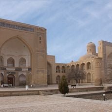
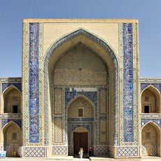
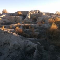
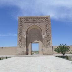
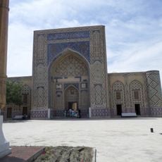
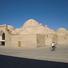
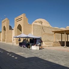
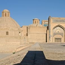
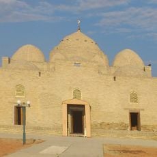
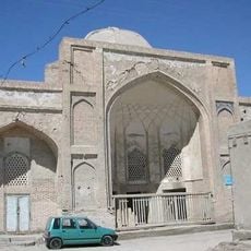
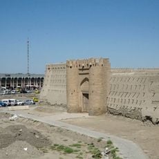
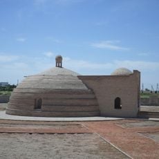
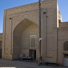
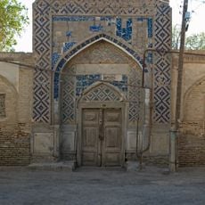
The nation emerged in 1991 from the Uzbek Soviet Socialist Republic, marking a transition from centuries under regional powers. These lands were long intertwined with ancient trade routes that moved through and shaped the region.
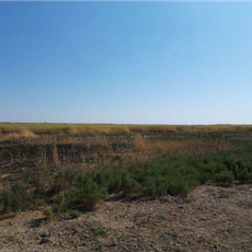
The Fergana Valley serves as an agricultural heart where farmers continue using traditional irrigation methods handed down through families. Visitors can see how these longstanding techniques still shape daily work and rural life today.
Visitors should understand that water is scarce and infrastructure requires ongoing maintenance across the territory. Planning with this climatic and geographic reality in mind helps travelers appreciate the region's challenges and adaptations.
The country is one of only two doubly landlocked nations worldwide, meaning every neighboring country also lacks sea access. This distinctive geographic condition shapes trade patterns and connections to the outside world in a singular way.
The community of curious travelers
AroundUs brings together thousands of curated places, local tips, and hidden gems, enriched daily by 60,000 contributors worldwide.