
Amudaryo District, district in Uzbekistan
Location: Karakalpakstan
Inception: 1957
Capital city: Mang‘it
Elevation above the sea: 83 m
Shares border with: Xo‘jayli District, Qorao‘zak District, Beruniy District
GPS coordinates: 39.22500,64.68400
Latest update: April 6, 2025 04:24
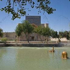
Lyab-i Hauz
65.1 km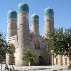
Chor Minor
65 km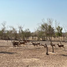
Bukhara specialized nursery "Jayron"
38.5 km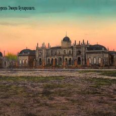
Дворец эмира Бухарского
56.9 km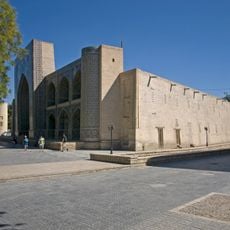
Medrese Nadir Devonbegi
65.1 km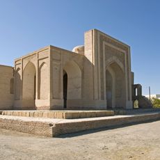
Namazgoh Mosque
64.1 km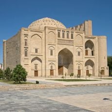
Khankah Nadir Divanbegi
65.1 km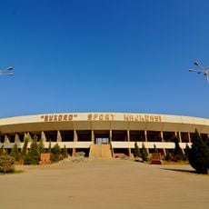
Buxoro Arena
64.4 km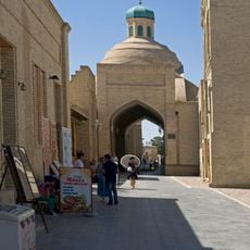
Tok-i-Sarrafon
65.1 km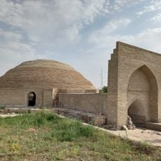
Karaulbazar cistern
31.1 km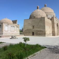
Saif ed-Din Bokharzi & Bayan-Quli Khan Mausoleums
63.7 km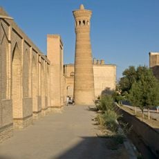
Xoja Kalon minaret
65.1 km
Bayan-Quli Khan Mausoleum
63.7 km
Juybori Kalon Madrasa
65 km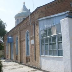
Church of St. Nicholay Chudotvortsa in Kagan
58 km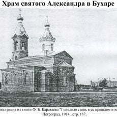
Church of St. Alexander in Bukhara
64.5 km
State wildlife sanctuary "Mubarak"
36.1 km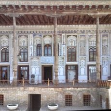
Fayzullo Xojayev house
64.8 km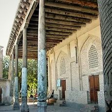
Volidai Abdulaziz Khan mosque
64.8 km
Former Synagogue, Kogon
56.4 km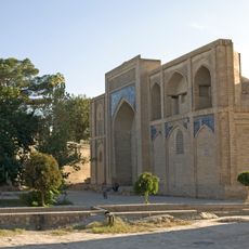
Gaukushon madrasa
65.1 km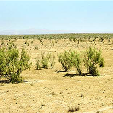
State wildlife sanctuary "Karnabchul"
53 km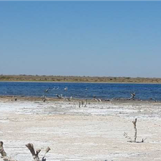
State ornithological wildlife sanctuary "Dengizkul"
45.4 km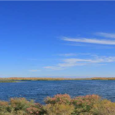
State wildlife sanctuary “Khadicha”
22.1 km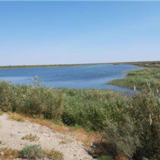
State wildlife sanctuary "Qumsulton"
44 km
Ibrohim Oxund Madrasa
65.1 km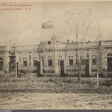
Former residence of the political agency of the Russian Empire
55.9 km
Abdurakhmoni Alam Madrasa
65.1 kmReviews
Visited this place? Tap the stars to rate it and share your experience / photos with the community! Try now! You can cancel it anytime.
Discover hidden gems everywhere you go!
From secret cafés to breathtaking viewpoints, skip the crowded tourist spots and find places that match your style. Our app makes it easy with voice search, smart filtering, route optimization, and insider tips from travelers worldwide. Download now for the complete mobile experience.

A unique approach to discovering new places❞
— Le Figaro
All the places worth exploring❞
— France Info
A tailor-made excursion in just a few clicks❞
— 20 Minutes