
Cerro El Sol, mountain in Venezuela
Location: Bolívar
Elevation above the sea: 1,750 m
GPS coordinates: 6.11292,-62.55023
Latest update: April 1, 2025 00:42
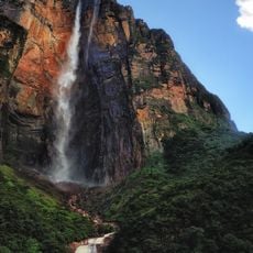
Angel Falls
16.1 km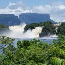
Canaima National Park
36.1 km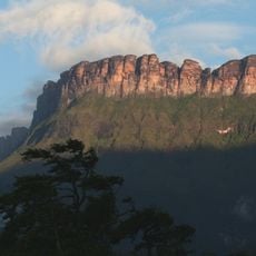
Auyantepui
23.7 km
Jasper Creek
210.2 km
Ptari-tepui
90.4 km
Aponwao Falls
132.1 km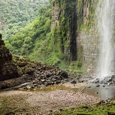
Cueva Charles Brewer - Carías
73.8 km
Salto Kamá
166.5 km
Ilú–Tramen Massif
188.4 km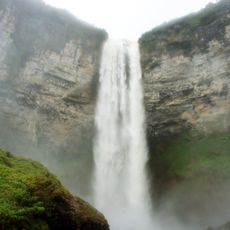
King George VI Falls
166 km
Sapo Falls
35.6 km
Wadakapiapué-tepui
200.9 km
Aprada-tepui
79 km
Estación Terrena de Luepa
121.7 km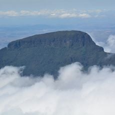
Karaurín-tepui
190.7 km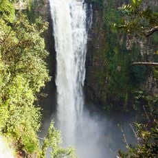
Kamarang Great Falls
169.5 km
Pacheco Waterfall
192.7 km
Yuruaní Falls
197.2 km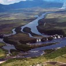
Anatoly Island
36 km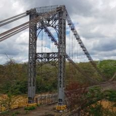
Suspension bridge over Cuyuní river
123.7 km
Capilla de Santa Teresita
106.2 km
La Paragua Forest Reserve
76.9 km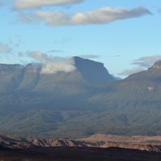
Eastern Tepuis Natural Monument
202 km
El Caura Forest Reserve
205.1 km
Mount Guaiquinima Natural Monument
121.4 km
San Pedro Forest Reserve
130.2 km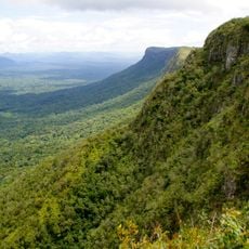
Cerros Ichúm y Guanacoco Natural Monument
214.1 km
El Dorado - Tumeremo Forest Reserve
150.6 kmReviews
Visited this place? Tap the stars to rate it and share your experience / photos with the community! Try now! You can cancel it anytime.
Discover hidden gems everywhere you go!
From secret cafés to breathtaking viewpoints, skip the crowded tourist spots and find places that match your style. Our app makes it easy with voice search, smart filtering, route optimization, and insider tips from travelers worldwide. Download now for the complete mobile experience.

A unique approach to discovering new places❞
— Le Figaro
All the places worth exploring❞
— France Info
A tailor-made excursion in just a few clicks❞
— 20 Minutes