
Hướng Hóa, district in North Central Coast, Vietnam
Location: Quảng Trị
Elevation above the sea: 507 m
GPS coordinates: 16.75000,106.66700
Latest update: April 4, 2025 09:46

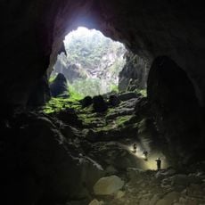
Son Doong Cave
88.5 km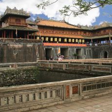
Huế citadel
102 km
Thiên Mụ Temple
99.3 km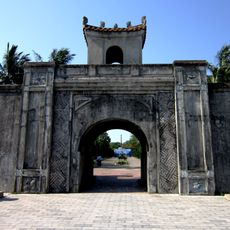
Quảng Trị Citadel
55.7 km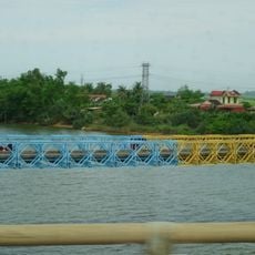
Hien Luong Bridge
49.8 km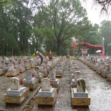
Trường Sơn Cemetery
38.3 km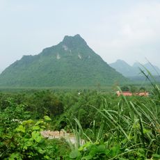
The Rockpile
20 km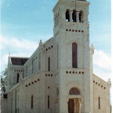
Basilica of Our Lady of La Vang
56.5 km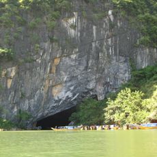
Phong Nha Cave
101.3 km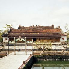
Hall of Supreme Harmony
102.1 km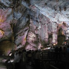
Thien Duong Cave
97.8 km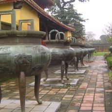
Nine tripod cauldrons of the Nguyễn dynasty
102 km
Thế Miếu
102 km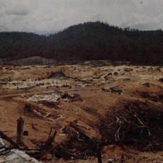
Firebase Bastogne
94.3 km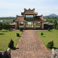
Temple of Literature, Huế
98.7 km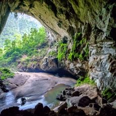
Hang Én (swift cave)
85.6 km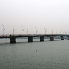
Nhat Le Bridge
80.5 km
Pavilion of Splendour
102.1 km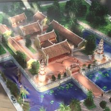
Hoằng Phúc pagoda
48.4 km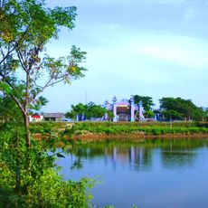
Mai Xá
51.6 km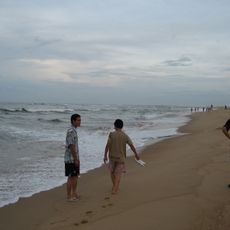
Nhat Le Beach
80.3 km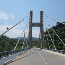
Lo Gom Bridge
19 km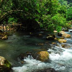
Mooc spring
100.7 km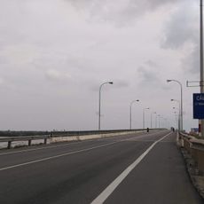
Quan Hau Bridge
72.3 km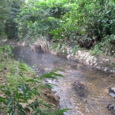
Bang Spa
39.8 km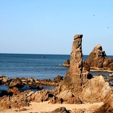
Da Nhay Beach
80.3 km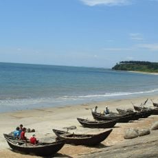
Cua Tung Beach
56.2 km
Hava Valley
101.9 kmReviews
Visited this place? Tap the stars to rate it and share your experience / photos with the community! Try now! You can cancel it anytime.
Discover hidden gems everywhere you go!
From secret cafés to breathtaking viewpoints, skip the crowded tourist spots and find places that match your style. Our app makes it easy with voice search, smart filtering, route optimization, and insider tips from travelers worldwide. Download now for the complete mobile experience.

A unique approach to discovering new places❞
— Le Figaro
All the places worth exploring❞
— France Info
A tailor-made excursion in just a few clicks❞
— 20 Minutes