Khau Phạ Pass, Mountain pass in Mù Căng Chải District, Vietnam.
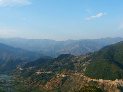
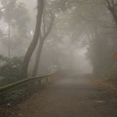
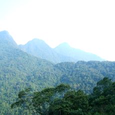
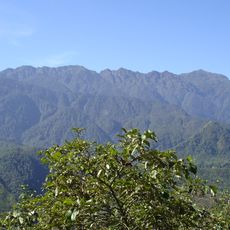
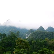
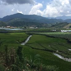
Khau Phạ Pass is a mountain pass that connects Văn Chấn District with Mù Căng Chải District through elevated terrain. The route crosses elevations between 1,200 and 1,500 meters and features fog-wrapped peaks with winding switchback roads.
The name comes from the Thái language and means sky-piercing horn, referring to the natural formation that rises through dense fog. This geographical designation was used for centuries by local communities inhabiting the area.
The H'Mông and Thái communities shape the slopes with their stepped rice fields, farmed through methods passed down across generations. These farming practices remain woven into daily life and define how the landscape appears today.
The drive from Yên Bái City takes about five hours, and drivers should exercise extra care during foggy weather and winter months. It is wise to drive with full attention and take road conditions seriously, especially on steep curves.
An underground river flows beneath the pass, creating a hidden hydrological world beneath the rock formations. The surrounding forests shelter rare tree species like Parashorea chinensis, adapted to thrive at this elevation.
The community of curious travelers
AroundUs brings together thousands of curated places, local tips, and hidden gems, enriched daily by 60,000 contributors worldwide.