
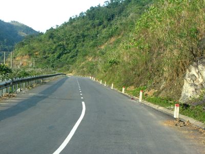
Minh Hóa, district in North Central Coast, Vietnam
Location: Quảng Bình
Elevation above the sea: 337 m
GPS coordinates: 17.75000,105.91700
Latest update: March 6, 2025 17:47
Son Doong Cave
51.1 km
Hin Nam No National Protected Area
32.5 km
Phong Nha-Ke Bang National Park
34.5 km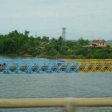
Hien Luong Bridge
146.4 km
Trường Sơn Cemetery
141.2 km
Kim Liên museum
109.8 km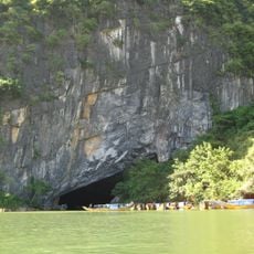
Phong Nha Cave
43 km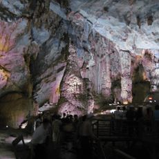
Thien Duong Cave
41.4 km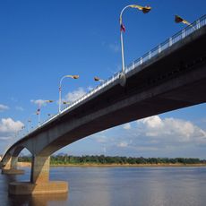
Third Thai–Lao Friendship Bridge
129.3 km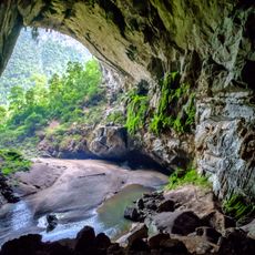
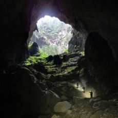
Hang Én
53.7 km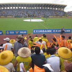
Vinh Stadium
105.6 km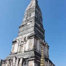
Wat Phra That Tha Uthen
141 km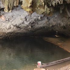
Tham Kong Lo
124.6 km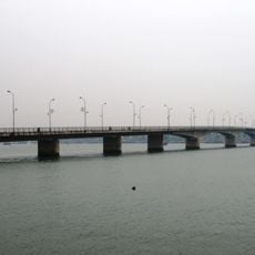
Nhat Le Bridge
81.4 km
Hà Tĩnh Stadium
64.9 km
Tú Làn Caves System
21.2 km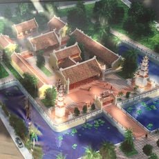
Hoằng Phúc pagoda
107.6 km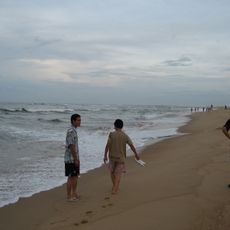
Nhat Le Beach
77.4 km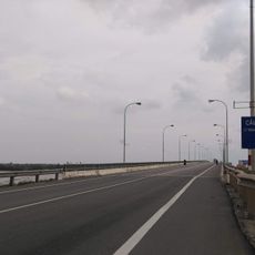
Quan Hau Bridge
86.2 km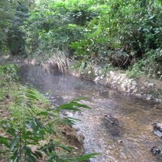
Bang Spa
123.9 km
Wat Mahathat
125.9 km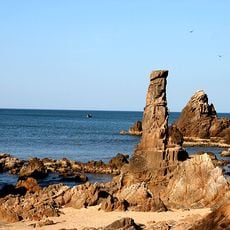
Da Nhay Beach
77.4 km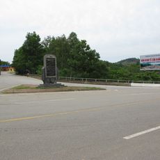
Ngã ba Khe Ve
20.1 km
Tham Khoun Xe
42.8 km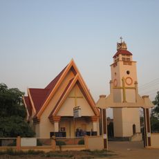
Cathedral of St Louis in Thakhek
124.1 km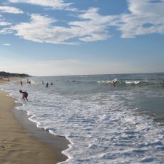
Plage de Bảo Ninh
82.7 km
Assumption Cathedral, Xã Đoài
119.6 km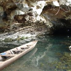
Buddha Cave
117.1 kmReviews
Visited this place? Tap the stars to rate it and share your experience / photos with the community! Try now! You can cancel it anytime.
Discover hidden gems everywhere you go!
From secret cafés to breathtaking viewpoints, skip the crowded tourist spots and find places that match your style. Our app makes it easy with voice search, smart filtering, route optimization, and insider tips from travelers worldwide. Download now for the complete mobile experience.

A unique approach to discovering new places❞
— Le Figaro
All the places worth exploring❞
— France Info
A tailor-made excursion in just a few clicks❞
— 20 Minutes