Hoài Ân, rural district of Binh Dinh, Vietnam
Location: Bình Định
Elevation above the sea: 173 m
GPS coordinates: 14.33750,108.90417
Latest update: March 8, 2025 16:10

Hoi An Ancient Town
182.2 km
Mỹ Sơn
179.5 km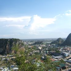
Marble Mountains
197.6 km
Ganh Da Dia
119.4 km
Măng Đen
72.3 km
Japanese Bridge
182.3 km
Mằng Lăng Church
116.9 km
Sơn Mỹ Memorial
93.8 km
Kontum Cathedral
96.1 km
Thap Nhan, Tuy Hoa
146.2 km
Thap Banh It
57.9 km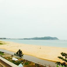
Sa Huỳnh
40.9 km
Thap Doi, Quy Nhon
69.8 km
Chư Yang Sin National Park
170.2 km
Thap Duong Long
46.9 km
Pleiku Stadium
104.9 km
Thap Canh Tien
49.1 km
Đồng Dương
169 km
Cu Lao Cham Marine Park
116.4 km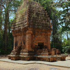
ヤンプロン塔
170.9 km
Quy Nhơn Stadium
71.8 km
Thap Phu Loc
47.1 km
Thap Binh Lam
58.3 km
Museum of Trade Ceramics
182.2 km
Dak Bla Bridge
97.5 km
Cong To Vo
118.3 km
Phou N'droni
196.2 km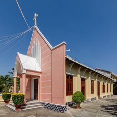
Evangelical Church of Hội An
182.6 kmReviews
Visited this place? Tap the stars to rate it and share your experience / photos with the community! Try now! You can cancel it anytime.
Discover hidden gems everywhere you go!
From secret cafés to breathtaking viewpoints, skip the crowded tourist spots and find places that match your style. Our app makes it easy with voice search, smart filtering, route optimization, and insider tips from travelers worldwide. Download now for the complete mobile experience.

A unique approach to discovering new places❞
— Le Figaro
All the places worth exploring❞
— France Info
A tailor-made excursion in just a few clicks❞
— 20 Minutes