Phú Lương, district in Northeast, Vietnam
Location: Thái Nguyên
Elevation above the sea: 138 m
GPS coordinates: 21.66700,105.75000
Latest update: March 19, 2025 03:16

Hùng Temple
55.4 km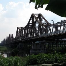
Long Bien Bridge
70.3 km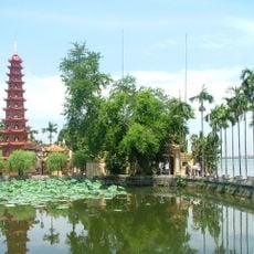
Trấn Quốc Pagoda
69.5 km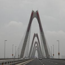
Nhật Tân Bridge
64.3 km
Nui Coc Lake
11.3 km
Tam Đảo
21.8 km
Thăng Long Bridge
63.5 km
Co Loa Citadel
62.9 km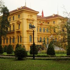
Presidential Palace of Vietnam
70.5 km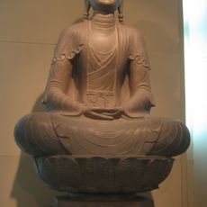
Phật Tích Temple
69.6 km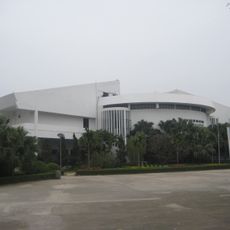
Vietnam Museum of Ethnology
69.9 km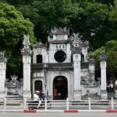
Quán Thánh Temple
70 km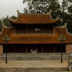
Son Tay Ancient Citadel
64.1 km
Presidential Palace Historical Site
70.6 km
Thanh Trì Bridge
63.5 km
Ham Long Buddhist temple
68.7 km
Dong Tru Bridge
67.6 km
Tam Dao National Park
26.6 km
Hanoi Botanic Garden
70.2 km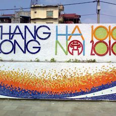
Hanoi Ceramic Mosaic Mural
69.9 km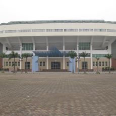
Quần Ngựa Sports Palace
70.1 km
Viet Tri Stadium
53.3 km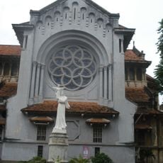
Cua Bac Church
70.3 km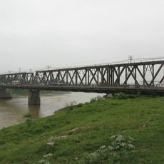
Duong River Bridge
67.6 km
Thanh Chuong Viet Palace
43.8 km
Vat Bridge
41.4 km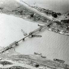
Sông Bé Bridge
67.6 km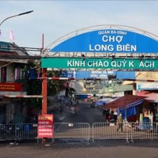
Chợ Long Biên
70.4 kmReviews
Visited this place? Tap the stars to rate it and share your experience / photos with the community! Try now! You can cancel it anytime.
Discover hidden gems everywhere you go!
From secret cafés to breathtaking viewpoints, skip the crowded tourist spots and find places that match your style. Our app makes it easy with voice search, smart filtering, route optimization, and insider tips from travelers worldwide. Download now for the complete mobile experience.

A unique approach to discovering new places❞
— Le Figaro
All the places worth exploring❞
— France Info
A tailor-made excursion in just a few clicks❞
— 20 Minutes