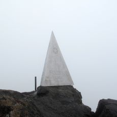
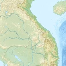
Bát Xát, Rural district in Lào Cai, Vietnam.
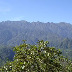
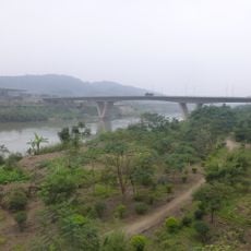
Bát Xát is a mountainous district in Lào Cai where steep hillsides meet river valleys surrounded by dense forest. Terraced fields climb the slopes throughout the area, and small villages sit nestled in the valleys where waterways flow through the landscape.
The district grew as an agricultural center shaped by river systems that flow through its northern areas. Over time, different ethnic groups settled in the valleys and established communities that continue to live here today in their traditional ways.
H'mong, Dao, and Tay people live throughout this district, each group speaking their own language and gathering at traditional markets in the towns. Their daily routines center around farming and animal herding, practices visible in the way the land is used and organized.
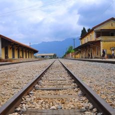
Getting around this area works best on foot or by local transport, with paths connecting villages and winding through the valleys. Basic guesthouses exist in the main settlements, making it possible to stay overnight and explore different parts of the district.
Cold winters bring temperatures below freezing, which shapes what crops locals can grow and how they farm throughout the year. Hidden in the mountains are natural hot springs with mineral-rich water, a surprising feature given the altitude and cold climate.
The community of curious travelers
AroundUs brings together thousands of curated places, local tips, and hidden gems, enriched daily by 60,000 contributors worldwide.