Enable Location

We need your location to show you interesting places around you

Discover nearby places

Find interesting locations and hidden gems around you

Precise directions

Get accurate directions and distances to places

Your location is never shared with other users. It's only used when you tap the location button.

Lâm Thao

Log in to your account

Start exploring — it's free

Trusted by 61,908 travelers worldwide

Continue with Google
Continue with Apple
or

We will send you a code to connect

By continuing, you accept our Terms and Conditions and our Privacy Policy

Check your inbox

We've sent a pincode in your inbox. Please enter the code below.

Lâm Thao

Lâm Thao, Rural district in Phú Thọ province, Vietnam

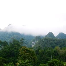
Lâm Thao is a rural district in Phú Thọ province in northeastern Vietnam, spreading across agricultural land and small settlements. The territory is organized through several administrative units that connect villages and farming areas together.

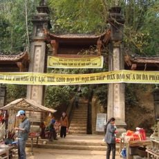
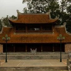
The area was established as an important administrative region within Phú Thọ province and developed into a center for agricultural activities. This structure enabled the management of rural communities and connections to larger regional networks.

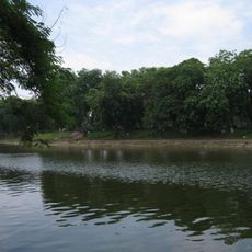
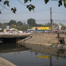
The communities here are deeply rooted in farming, with rice cultivation shaping daily life and routines. Seasonal celebrations mark different phases of the harvest cycle and connect people to the natural rhythms of the land.

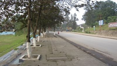
Visitors can reach the area through regional roads that connect to neighboring areas. The best time to visit is during the farming season when fields are green and community life is most active.

The area is organized through several administrative units that form small centers with their own local character. This division shows how rural communities in this region function and stay connected to one another.

The community of curious travelers

AroundUs brings together thousands of curated places, local tips, and hidden gems, enriched daily by 60,000 contributors worldwide.

Start exploring
Location
Elevation above the sea
19 m
GPS coordinates
21.31956,105.28498
Latest update
December 10, 2025 15:54
« Lâm Thao - Rural district in Phú Thọ province, Vietnam » is provided by Around Us (aroundus.com). Images and texts are derived from Wikimedia project under a Creative Commons license. You are allowed to copy, distribute, and modify copies of this page, under the conditions set by the license, as long as this note is clearly visible.

Discover hidden gems everywhere you go!

From secret cafés to breathtaking viewpoints, skip the crowded tourist spots and find places that match your style. Our app makes it easy with voice search, smart filtering, route optimization, and insider tips from travelers worldwide. Download now for the complete mobile experience.

Around Us App Screenshot

A unique approach to discovering new places

Le Figaro

All the places worth exploring

France Info

A tailor-made excursion in just a few clicks

20 Minutes

Around Us
Travel Guide & Maps
Download

Send to your phone

QR Code
1

Open the camera app on your mobile.

2

Point at the QR code with your camera. A notification will appear.

3

Tap the notification to open the link.