
Banī Ḩammād, Islah in Al Mawasit District in Ta'izz Governorate in Yemen
Location: Al Mawasit District
Location: Ta'izz Governorate
Elevation above the sea: 1,471 m
GPS coordinates: 13.29061,44.08542
Latest update: April 9, 2025 18:47

Ghumdan Palace
230 km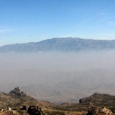
Jabal An-Nabi Shu'ayb
221.8 km
Al Saleh Mosque
226.9 km
Great Mosque of Sana'a
230 km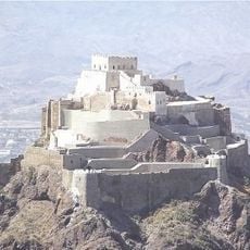
Cairo Castle
31.7 km
Big Ben Aden
112.6 km
Cisterns of Tawila
117.4 km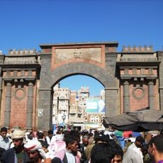
Yemen Gate
229.8 km
Sira Fortress
119 km
Queen Arwa Mosque
70.6 km
Day Forest National Park
225.3 km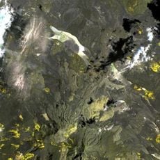
Mousa Ali
204.1 km
National Museum of Yemen
230.3 km
Palace of Queen Arwa
70.8 km
Al-Bakiriyya Mosque
230 km
Ashrafiya Mosque
32.1 km
Hamoudi Mosque
214.9 km
Aidrus Mosque
118.2 km
Al-Mahdi Mosque
230 km
Yemen Military Museum
229.9 km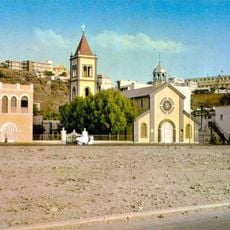
St. Francis of Assisi Church, Aden
111.9 km
National Museum of Yemen in Aden
118.4 km
Talha Mosque
230.1 km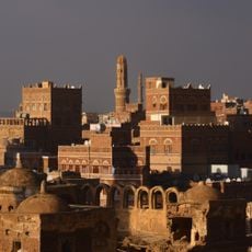
Salah al-Din Mosque
230.1 km
Al Hudayda Castle
206.8 km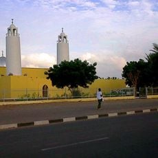
Salman Mosque
216.8 km
Odeon Cinema
214.3 km
Masjid al-Qiblatayn
225.6 kmReviews
Visited this place? Tap the stars to rate it and share your experience / photos with the community! Try now! You can cancel it anytime.
Discover hidden gems everywhere you go!
From secret cafés to breathtaking viewpoints, skip the crowded tourist spots and find places that match your style. Our app makes it easy with voice search, smart filtering, route optimization, and insider tips from travelers worldwide. Download now for the complete mobile experience.

A unique approach to discovering new places❞
— Le Figaro
All the places worth exploring❞
— France Info
A tailor-made excursion in just a few clicks❞
— 20 Minutes