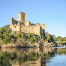
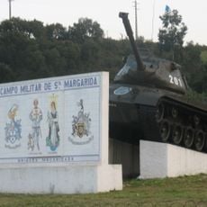
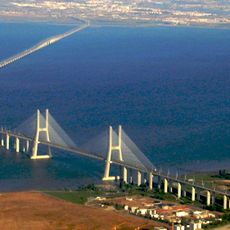
Lezíria do Tejo Subregion, NUTS 3 subregion of Portugal
The community of curious travelers
AroundUs brings together thousands of curated places, local tips, and hidden gems, enriched daily by 60,000 contributors worldwide.
Location
Capital city
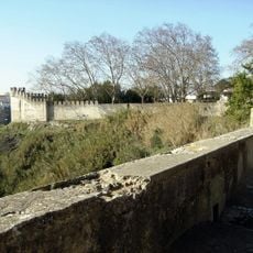
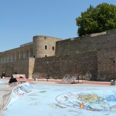
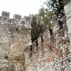
Santarém
Shares border with
Médio Tejo Subregion, Alto Alentejo Subregion, Alentejo Central, Lisbon metropolitan area, Oeste Subregion, Região de Leiria Subregion
GPS coordinates
39.23245,-8.67734
Latest update
March 12, 2025 20:46