
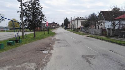
Banoštor, human settlement
Location: Beočin Municipality
Elevation above the sea: 158 m
GPS coordinates: 45.21220,19.61330
Latest update: March 11, 2025 12:41
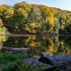
Fruška Gora National Park
6.6 kmФрушкогорски манастири
9.3 km
Kuveždin monastery
12.4 km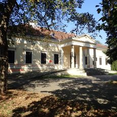
Dunđerski Palace
10 km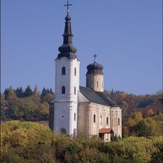
Šišatovac monastery
10.6 km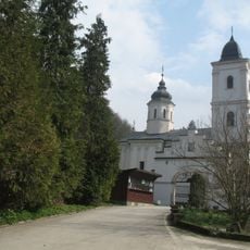
Beočin monastery
9.3 km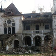
Špicer castle
8.4 km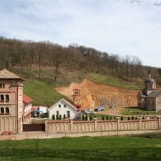
Bešenovo monastery
12.9 km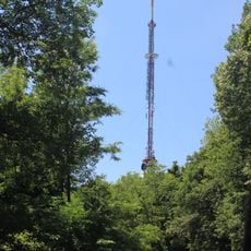
Crveni čot
10.3 km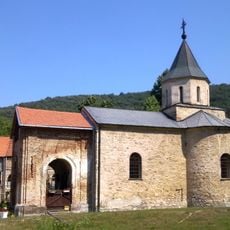
Rakovac monastery
13 km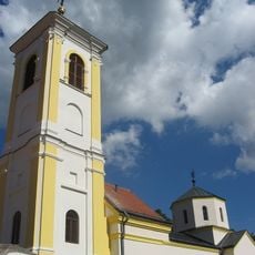
Divša monastery
11.3 km
Petkovica monastery
11.5 km
Nature Park Begecka jama
1.4 km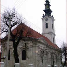
Crkva Svetih Vračeva Kuzme i Damjana
8.8 km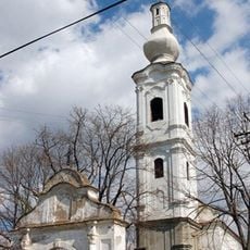
Crkva Sv. Gavrila
12.2 km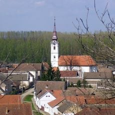
Crkva Sv. Kozme i Damjana
12.8 km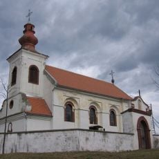
Crkva Sv. Georgija
574 m
Château Chotek
7.2 km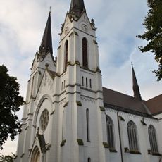
Crkva srca Isusovog
7.2 km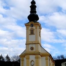
Crkva Preobraženja Gospodnjeg
9 km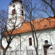
St. Paul and St. Peter Church at Rumenka
13.5 km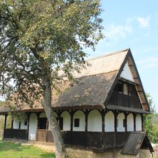
Seoska kuća u Neštinu
10.3 km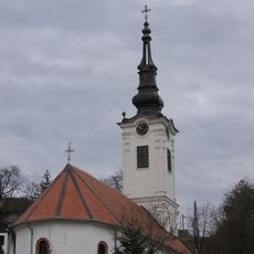
Crkva Sv. Save
4.2 km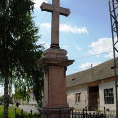
Croix votive à Futog
8.8 km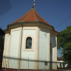
Crkva Sv. Georgija
10.5 km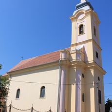
Rimokatolička crkva Sv. Josipa
4.2 km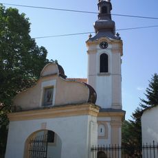
Crkva Sv. Arhangela Gavrila
6.5 km
Homeland Museum of Čerevic
4.3 kmVisited this place? Tap the stars to rate it and share your experience / photos with the community! Try now! You can cancel it anytime.
Discover hidden gems everywhere you go!
From secret cafés to breathtaking viewpoints, skip the crowded tourist spots and find places that match your style. Our app makes it easy with voice search, smart filtering, route optimization, and insider tips from travelers worldwide. Download now for the complete mobile experience.

A unique approach to discovering new places❞
— Le Figaro
All the places worth exploring❞
— France Info
A tailor-made excursion in just a few clicks❞
— 20 Minutes