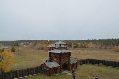
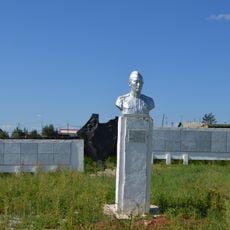
Ust-Aldansky District, Municipal district in central Sakha Republic, Russia.
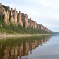
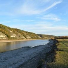
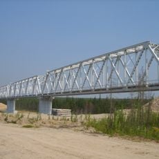
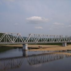
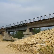
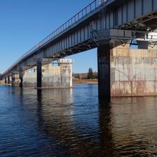
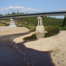
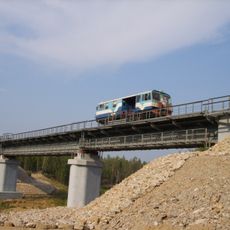
Ust-Aldansky District is an administrative region in central Sakha featuring flat terrain crossed by the Lena and Aldan rivers. The administrative center Borogontsy oversees 21 rural municipalities that include 35 settlements across the territory.
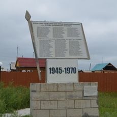
The district was established in 1930 during the Soviet period as part of a broader reorganization of regional administrative structures. This administrative reform shaped how settlements developed and organized themselves over the following decades.
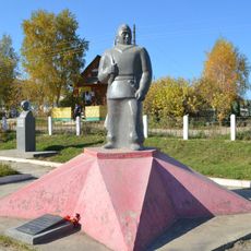
The area is home to Yakut communities whose language and traditions shape everyday life in the towns and villages. You can see this cultural connection in local practices and how residents relate to their surroundings.
Visitors should prepare for extreme temperature swings, with very cold winters and short warm summers that govern the pace of local activities. Summer is the best time to explore, when the rivers are navigable and the landscape becomes more accessible.
The district holds several large lakes including Myuryu and Oner that shape the appearance of the flat landscape and support local economic activities. These water features play a key role in fishing and farming for the communities living here.
The community of curious travelers
AroundUs brings together thousands of curated places, local tips, and hidden gems, enriched daily by 60,000 contributors worldwide.