Severny Island ice cap, Arctic glacier in Novaya Zemlya, Russia
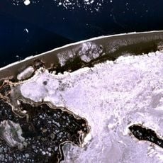
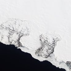
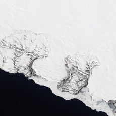
The Severny Island ice cap is a glacier complex on Severny Island, the northern island of the Novaya Zemlya archipelago in Russia. It covers about 40% of the island, roughly 18,661 km2 by 2021 figures, and several glaciers flow from its interior down to the Barents Sea and Kara Sea coasts. Mount Kruzenshtern, the highest point of Novaya Zemlya, rises on its western edge near the head of the Glazov Glacier, and nunataks such as Gora Severny Nunatak break through the ice.
The ice cap was first measured in 1913 by the Russian geologist and glaciologist Boris Vilkitsky's survey work, and systematic study continued with Soviet expeditions from the 1930s onward. Mount Kruzenshtern, Novaya Zemlya's highest point, was named after Admiral Adam Johann von Krusenstern, who led the first Russian circumnavigation in 1803-1806.
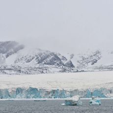
The ice cap feeds dozens of outlet glaciers: those reaching the Barents Sea on the west and the Kara Sea on the east, plus the Lednikovoye Glaciers, which end in Lednikovoye Lake. Gora Severny Nunatak and a second nunatak between the two outlets of the Bunge Glacier rise above the ice as bare rock.
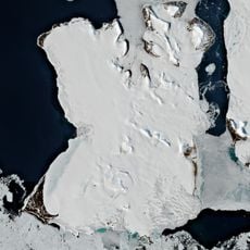
The ice cap lies on Severny Island, the northern island of Novaya Zemlya, between the Barents Sea to the west and the Kara Sea to the east. Its outlet glaciers reach the coast on both sides, and Mount Kruzenshtern rises on the western edge near the head of the Glazov Glacier. Nunataks such as Gora Severny break through the ice in the north.
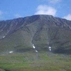
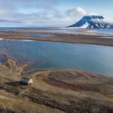
Mount Kruzenshtern, Novaya Zemlya's highest point, rises on the western edge of the ice cap near the head of the Glazov Glacier. Gora Severny Nunatak and a second nunatak between the two outlets of the Bunge Glacier stand as bare rock above the ice.
The community of curious travelers
AroundUs brings together thousands of curated places, local tips, and hidden gems, enriched daily by 93,246 contributors worldwide.