Enable Location

We need your location to show you interesting places around you

Discover nearby places

Find interesting locations and hidden gems around you

Precise directions

Get accurate directions and distances to places

Your location is never shared with other users. It's only used when you tap the location button.

Middle Ural

Log in to your account

Start exploring — it's free

Trusted by 61,917 travelers worldwide

Continue with Google
Continue with Apple
or

We will send you a code to connect

By continuing, you accept our Terms and Conditions and our Privacy Policy

Check your inbox

We've sent a pincode in your inbox. Please enter the code below.

Middle Ural, Mountain range between Europe and Asia in western Russia

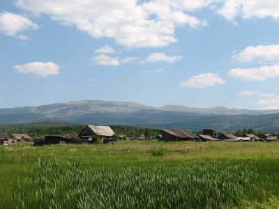
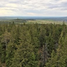
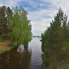
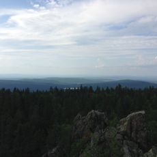
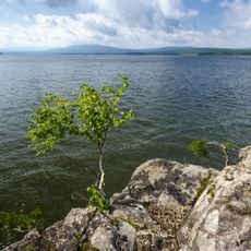
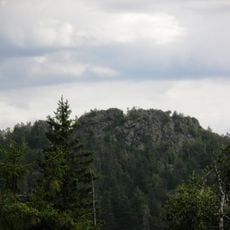
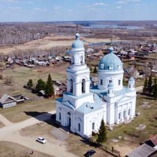
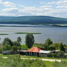
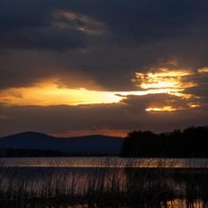
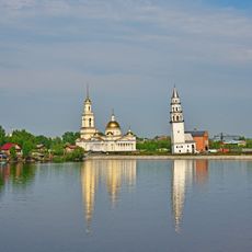
The Middle Ural is a mountain range between Europe and Asia in western Russia with peaks ranging from 900 to 1500 meters in elevation. River valleys cut through the region, and it is covered with forests, lakes, and plateaus that shape the entire landscape.

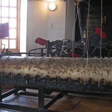
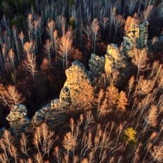
The region formed over millions of years through geological forces and became an industrial center in the 18th century when Peter I established mines and metal workshops. This shift turned it into a crucial source of resources for expanding Russian industry.

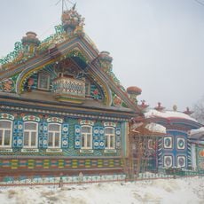
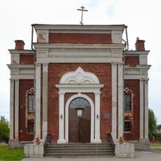
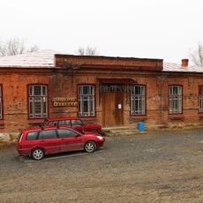
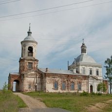
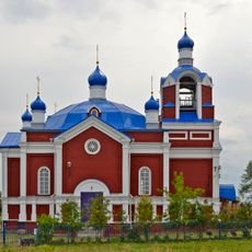
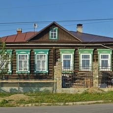
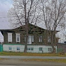
Russian, Tatar, and Bashkir communities live across this region, each speaking their own language and keeping traditional crafts alive. You can see this cultural mix in local markets and seasonal celebrations throughout the mountain valleys.

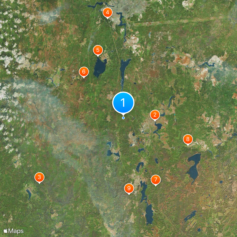
The region has multiple transport corridors connecting European Russia and Siberia that stay open year-round. Weather conditions change significantly with the seasons, so pack accordingly for your visit.

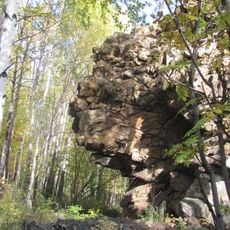
The region holds large deposits of iron, copper, and precious stones that miners have extracted for centuries. These mineral riches are why it remains an important economic zone for the country.

The community of curious travelers

AroundUs brings together thousands of curated places, local tips, and hidden gems, enriched daily by 60,000 contributors worldwide.

Start exploring
Location
Elevation above the sea
266 m
GPS coordinates
57.50000,60.00000
Latest update
December 17, 2025 09:27
Around this place
Leaning Tower of Nevyansk
Russian Federation

Leaning Tower of Nevyansk

13.4 km
Visimskiy State Natural Biosphere Reserve
Russian Federation

Visimskiy State Natural Biosphere Reserve

45.5 km
Яланғас таш
Russian Federation

Яланғас таш

42.8 km
Ushkovskaya Kanava
Russian Federation

Ushkovskaya Kanava

28.5 km
Belaya Mountain
Russian Federation

Belaya Mountain

24.1 km
Seven Brothers and One Sister Rocks
Russian Federation

Seven Brothers and One Sister Rocks

32 km
Kirillov's house
Russian Federation

Kirillov's house

29.9 km
Russian Federation

Visyachy Kamen

32.7 km
Ayat Reservoir
Russian Federation

Ayat Reservoir

35.9 km
Սուրբ Երրորդության եկեղեցի
Russian Federation

Սուրբ Երրորդության եկեղեցի

42.1 km
Saint Nicholas Church, Byngi
Russian Federation

Saint Nicholas Church, Byngi

17.9 km
Nizhne-Tagil'skiy Prud
Russian Federation

Nizhne-Tagil'skiy Prud

39.9 km
Chernoistochinsky Reservoir
Russian Federation

Chernoistochinsky Reservoir

24.1 km
Starik-Kamen
Russian Federation

Starik-Kamen

17.7 km
Church of the Transfiguration, Nevyansk
Russian Federation

Church of the Transfiguration, Nevyansk

13.3 km
Yuryev Kamen
Russian Federation

Yuryev Kamen

25 km
Visim Museum of Dmitry Mamin-Sibiryak
Russian Federation

Visim Museum of Dmitry Mamin-Sibiryak

34.3 km
Alexander Nevsky Church, Shurala
Russian Federation

Alexander Nevsky Church, Shurala

12.8 km
Rudyansky Pond
Russian Federation

Rudyansky Pond

21 km
Holy Trinity
Russian Federation

Holy Trinity

12.9 km
Vogulka Reservoir
Russian Federation

Vogulka Reservoir

15.2 km
Տավոլոժկայի կերամիկայի թանգարան
Russian Federation

Տավոլոժկայի կերամիկայի թանգարան

23.6 km
Церковь Рождества Пресвятой Богородицы (Краснополье)
Russian Federation

Церковь Рождества Пресвятой Богородицы (Краснополье)

37.4 km
Our Lady of Kazan Church
Russian Federation

Our Lady of Kazan Church

18.4 km
Дом фельдшера Машанова
Russian Federation

Дом фельдшера Машанова

27.1 km
Дом Яргина
Russian Federation

Дом Яргина

27.4 km
Дом купца Дождева
Russian Federation

Дом купца Дождева

13.5 km
Nevyansk Reservoir
Russian Federation

Nevyansk Reservoir

15.5 km
Show the full map
« Middle Ural - Mountain range between Europe and Asia in western Russia » is provided by Around Us (aroundus.com). Images and texts are derived from Wikimedia project under a Creative Commons license. You are allowed to copy, distribute, and modify copies of this page, under the conditions set by the license, as long as this note is clearly visible.

Discover hidden gems everywhere you go!

From secret cafés to breathtaking viewpoints, skip the crowded tourist spots and find places that match your style. Our app makes it easy with voice search, smart filtering, route optimization, and insider tips from travelers worldwide. Download now for the complete mobile experience.

Around Us App Screenshot

A unique approach to discovering new places

Le Figaro

All the places worth exploring

France Info

A tailor-made excursion in just a few clicks

20 Minutes

Around Us
Travel Guide & Maps
Download

Send to your phone

QR Code
1

Open the camera app on your mobile.

2

Point at the QR code with your camera. A notification will appear.

3

Tap the notification to open the link.