Inja, human settlement in Okhotsky District, Khabarovsk Krai, Russia
Location: Інське сільське поселення
GPS coordinates: 59.39111,144.82528
Latest update: April 26, 2025 05:25

Amur Yakutsk Mainline
855 km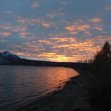
Labynkyr
352.8 km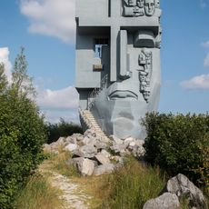
Mask of Sorrow
338.9 km
Jack London Lake
393.7 km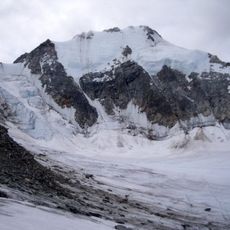
Peak Pobeda, Sakha
647 km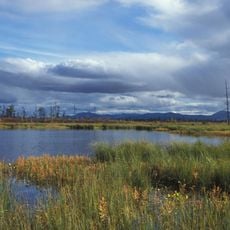
Magadan Nature Reserve
150.7 km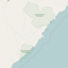
Dzhugdzursky Nature Reserve
461 km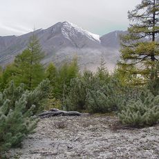
Kolyma Mountains
656.6 km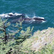
Shantar Islands National Park
658.1 km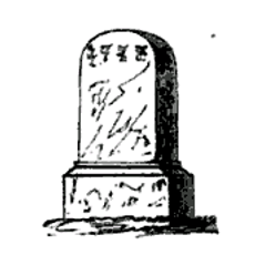
Yongning Temple Stele
783.2 km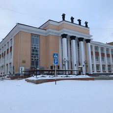
Magadan Music and Drama Theater
338.2 km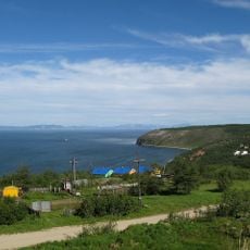
Gertner Cove
344.8 km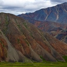
Momsky nature park
652.5 km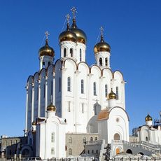
Holy Trinity Cathedral
338.2 km
Bolschaja-Momskaja-Aufeis
724.4 km
Kolyma Reservoir
410 km
Myuryu
821.4 km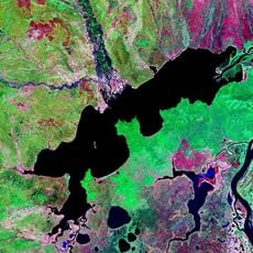
Lake Udyl
863.3 km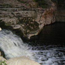
Kyuryulyur
866.8 km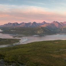
Angachak Range
380.2 km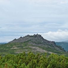
Gory Kamennyy Venets
330.9 km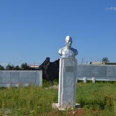
F. K. Popov yodgorlik-byusti
835.4 km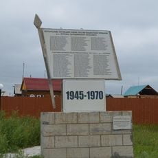
Памятник воинам-землякам, участникам Великой Отечественной войны (Петровка, Якутия)
836 km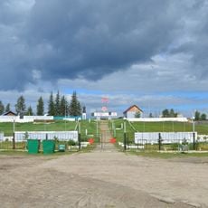
Памятник воинам-землякам (Майя)
835.4 km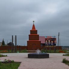
Памятник-часовня (Петровка)
836 km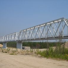
Railway bridge through Myla river
859.2 km
Gora Burgalenzha
866.1 km
Gora Yuzhnyy Krest
840 kmReviews
Visited this place? Tap the stars to rate it and share your experience / photos with the community! Try now! You can cancel it anytime.
Discover hidden gems everywhere you go!
From secret cafés to breathtaking viewpoints, skip the crowded tourist spots and find places that match your style. Our app makes it easy with voice search, smart filtering, route optimization, and insider tips from travelers worldwide. Download now for the complete mobile experience.

A unique approach to discovering new places❞
— Le Figaro
All the places worth exploring❞
— France Info
A tailor-made excursion in just a few clicks❞
— 20 Minutes