
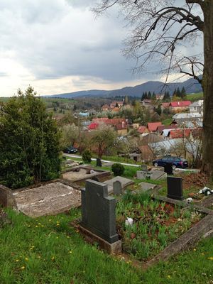
Horná Lehota, municipality of Slovakia in Brezno district
Location: District of Brezno
Website: https://www.horna-lehota.sk/
Website: https://horna-lehota.sk
GPS coordinates: 48.83837,19.54650
Latest update: April 11, 2025 00:45
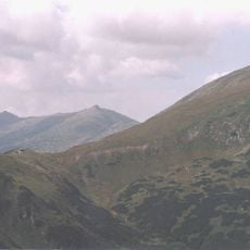
Low Tatras National Park
11.6 km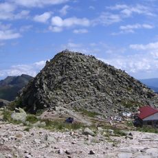
Chopok
12.1 km
Ďumbier
12.9 km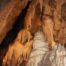
Bystrianska Cave
3.5 km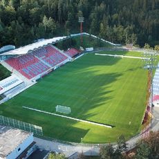
Stadium Kolkáreň
2.6 km
Štiavnica
13.5 km
Chabenec
12.1 km
Horehronské podolie
8.1 km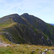
Dereše
11.5 km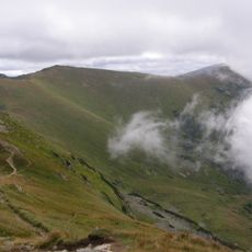
Poľana
12.1 km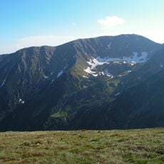
Skalka
10.3 km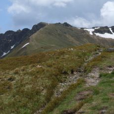
Krúpova hoľa
12.8 km
Bôr
14.1 km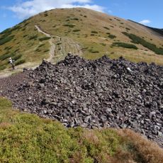
Králička
13 km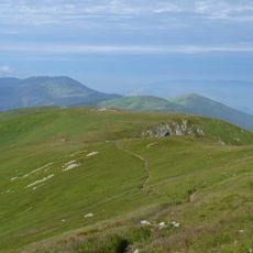
Skalka
8.5 km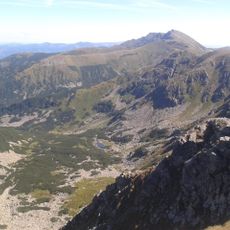
Ďumbier (geomorfologická část)
12.2 km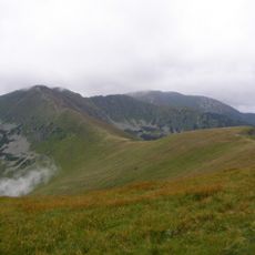
Kotliská
11.4 km
Breznianska skalka
6 km
Zákľuky
12.9 km
Palenica
9.1 km
Ďumbier
14.9 km
Žiarska hoľa
9.3 km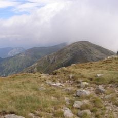
Konské (Niżne Tatry)
12.3 km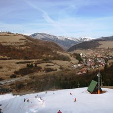
Bystrianske podhorie
7.5 km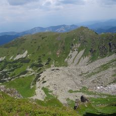
Ludárova hoľa
14.7 km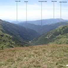
Strukár
9.3 km
Meštiansky dom
8 km
Meštiansky dom
7.8 kmReviews
Visited this place? Tap the stars to rate it and share your experience / photos with the community! Try now! You can cancel it anytime.
Discover hidden gems everywhere you go!
From secret cafés to breathtaking viewpoints, skip the crowded tourist spots and find places that match your style. Our app makes it easy with voice search, smart filtering, route optimization, and insider tips from travelers worldwide. Download now for the complete mobile experience.

A unique approach to discovering new places❞
— Le Figaro
All the places worth exploring❞
— France Info
A tailor-made excursion in just a few clicks❞
— 20 Minutes