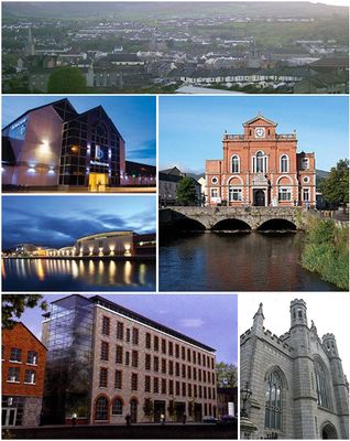
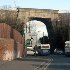
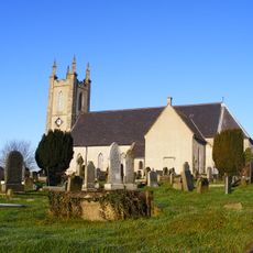
Newry, Border city in County Down, Northern Ireland
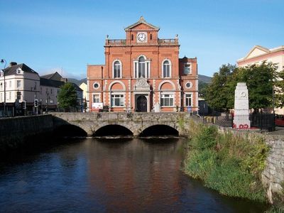
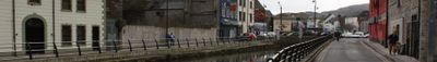
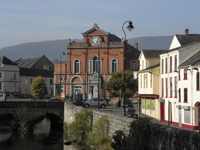
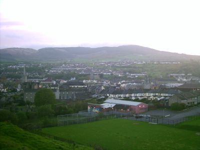
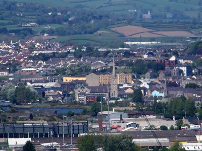
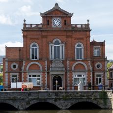
Newry is a town in County Down, Northern Ireland, lying along the River Clanrye with hills rising in the distance. Several bridges cross the water and connect neighborhoods on either bank, while a canal runs parallel to the river.
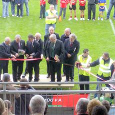
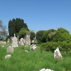
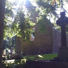
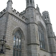
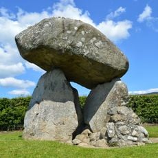
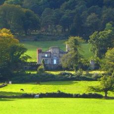
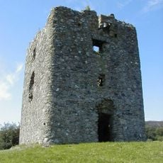
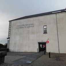
Cistercian monks founded an abbey here in 1144, which gave rise to a permanent settlement. Over the centuries the place grew into an important trading post between north and south, helped by its position on the main route between Belfast and Dublin.
The place takes its name from the Irish word for yew tree, and this connection to the Celtic language still appears on bilingual street signs and markers throughout the town center. Local pubs and shops often use both languages, giving visitors a glimpse of the Irish identity in the area.
The town works well as a stopover for travelers moving between Belfast and Dublin, since the main road passes directly through the center. Supermarkets, cafés, and public facilities are easy to reach on foot if you park on the central streets.
The ship canal here was completed in 1742 and is considered the first summit-level canal in the British Isles. Parts of it remain walkable and show the old lock gates and stone walls along the waterway.
The community of curious travelers
AroundUs brings together thousands of curated places, local tips, and hidden gems, enriched daily by 60,000 contributors worldwide.