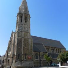
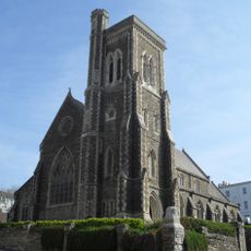
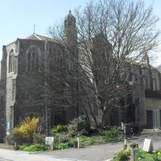
Hastings, Coastal town in East Sussex, England
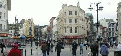
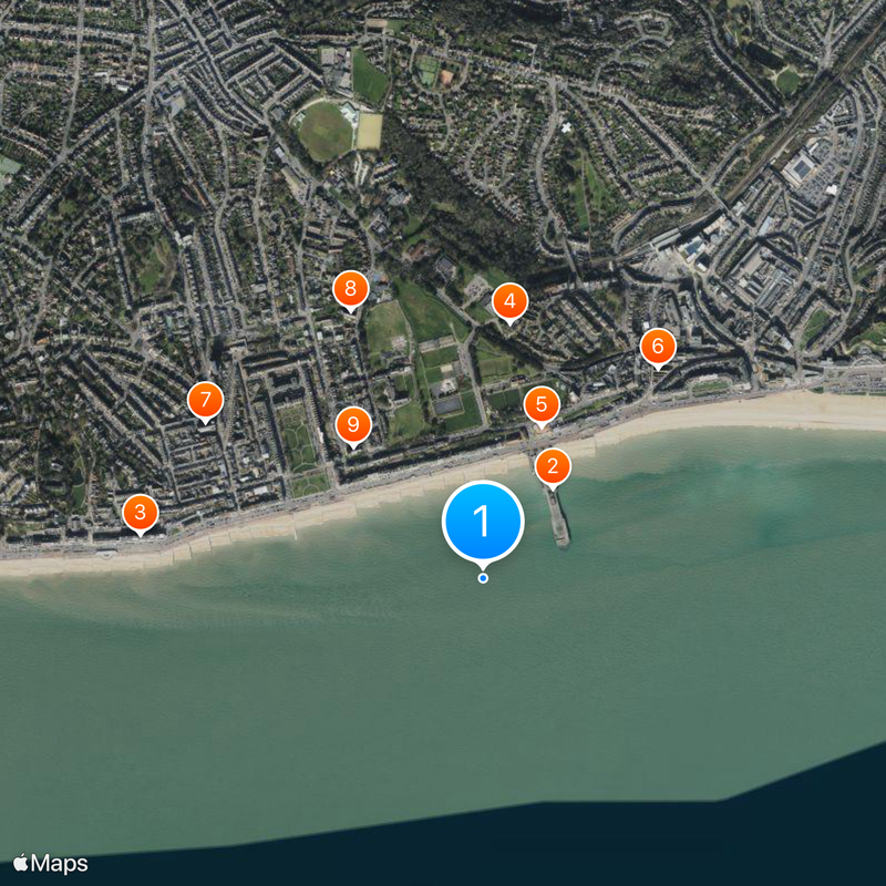
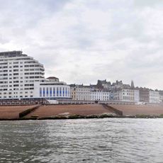
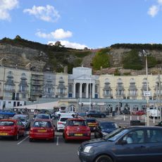
Hastings is a coastal town in East Sussex that extends for nearly three miles along the shore, bordered by cliffs at both ends. The seafront runs from the historic fishing quarter in the east to the resort areas and amusement facilities in the west.
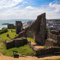
William the Conqueror ordered a castle built after his victory in 1066, which now stands in ruins on a hill above the town. The battle itself took place several miles inland at Battle, but the location shaped the name of the event for all time.
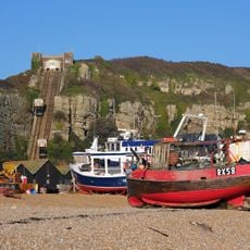
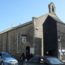
The tall black net shops at the Stade remain working storage towers for the local fishing fleet rather than museum pieces. Fishermen use these narrow timber structures to keep their nets dry and secure between trips to sea.
Travelers reach the town by direct trains from Victoria or Charing Cross stations in London, with the journey taking about 90 minutes. Those visiting the fishing quarter should arrive early in the morning when boats return and unload crates of catch.
Bottle Alley along the waterfront is a covered double-deck promenade with walls decorated by glass shards set in concrete. Residents collected these glass pieces in the early 20th century to ornament the passageways and reflect light.
Location: Hastings
Shares border with: Battle
Website: https://hastings.gov.uk
GPS coordinates: 50.85000,0.57000
Latest update: December 4, 2025 14:21
Hastings Pier
307 m
Marine Court
932 m
Hastings Museum and Art Gallery
694 m
White Rock Theatre
441 m
Holy Trinity Church, Hastings
738 m
Christ Church
863 m
Church of St Thomas of Canterbury and English Martyrs, St Leonards-on-Sea
807 m
St Mary Magdalene's Church, St Leonards-on-Sea
500 m
St Leonards-on-Sea United Reformed Church
934 m
St Leonard's Baptist Church
942 m
Hastings Town Hall
1 km
Brassey Institute
728 m
Wellington Square Baptist Church
1.1 km
Robertson Street United Reformed Church
809 m
Royal Victoria Hotel
1.1 km
Station Road
998 m
Queen Victoria Memorial Statue
525 m
Christchurch Church Of England School East Wing
827 m
The Havelock Public House
909 m
Masonic Hall
1.1 km
Horse And Groom Public House
936 m
Boer War Memorial
458 m
Carlisle Parade Car Park Including The Subway, Entrance Ramps, Sunken Garden And Three Shelters, And Five Additional Shelters On Eversfield Place
778 m
Cast Iron Boundary Post On Mount Pleasant
844 m
34 And 35, Wellington Square
1.2 km
Chapel to the former Convent of the Holy Child Jesus, Magdalen Road
530 m
Cast Iron Boundary Post In Market Passage
809 m
14, Claremont
741 mVisited this place? Tap the stars to rate it and share your experience / photos with the community! Try now! You can cancel it anytime.
Discover hidden gems everywhere you go!
From secret cafés to breathtaking viewpoints, skip the crowded tourist spots and find places that match your style. Our app makes it easy with voice search, smart filtering, route optimization, and insider tips from travelers worldwide. Download now for the complete mobile experience.
A unique approach to discovering new places❞
— Le Figaro
All the places worth exploring❞
— France Info
A tailor-made excursion in just a few clicks❞
— 20 Minutes