
Calhoun County, Rural county in southwestern Illinois, United States.
Located between the Mississippi and Illinois rivers, Calhoun County extends across 284 square miles of rolling hills and fertile agricultural lands.
The county, established in 1825, bears the name of Vice President John C. Calhoun and experienced substantial German immigration during the late 1840s.
Local farmers maintain agricultural traditions through seasonal festivals that showcase regional produce, particularly the peach orchards that dot the landscape.
Two state-operated ferries provide free transportation across the Illinois River, connecting residents to neighboring regions throughout the year.
Archaeological records indicate over 10,000 years of continuous human presence in this region, with numerous Native American settlements along the river valleys.
Location: Illinois
Inception: 1825
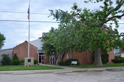
Capital city: Hardin
Shares border with: Greene County, Jersey County, St. Charles County, Lincoln County, Pike County
GPS coordinates: 39.16000,-90.67000
Latest update: May 27, 2025 13:23
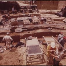
Koster Site
11.7 km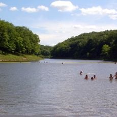
Cuivre River State Park
26.6 km
Goldenrod
20.6 km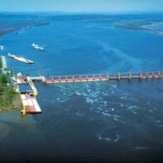
Lock and Dam No. 25
17.3 km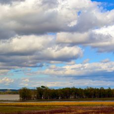
Two Rivers National Wildlife Refuge
14.2 km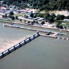
Lock and Dam No. 24
31.7 km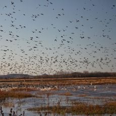
Clarence Cannon National Wildlife Refuge
15.5 km
Kamp Mound Site
19.6 km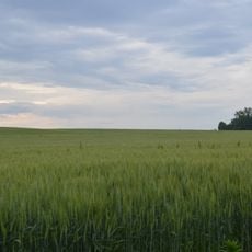
Golden Eagle-Toppmeyer Site
30.2 km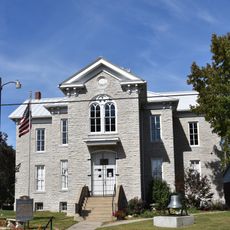
Hamilton Primary School
26.5 km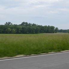
Duncan Farm
25.3 km
Old Rock House
31.6 km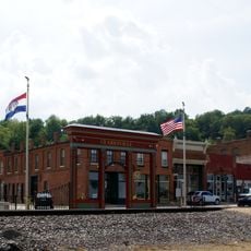
Clarksville Historic District
30.9 km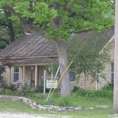
Paris Mason Building
28.3 km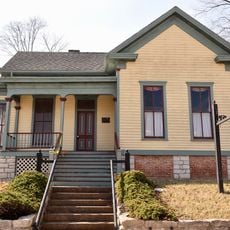
Clifford-Wyrick House
31 km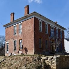
Turner-Pharr House
31 km
Charles Brainerd House
29.5 km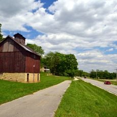
Smith-Duncan House and Eastman Barn
25.3 km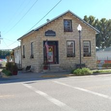
Slaten-LaMarsh House
29.4 km
Schudel No. 2 Site
2.1 km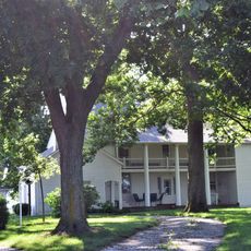
Black Homestead Farm
24.6 km
Northern Methodist Episcopal Church of Clarksville
30.7 km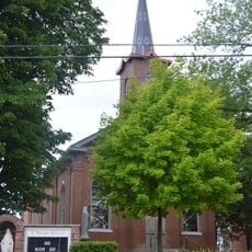
Brussels Historic District
24.5 km
Grafton Historic District
29.6 km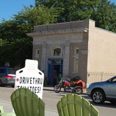
Grafton Bank
29.6 km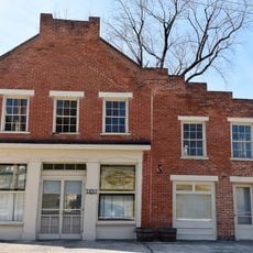
Meloan, Cummins & Co., General Store
22.9 km
Michael Klunk Farmstead
11.1 km
Cuivre River State Park Administrative Area Historic District
28 kmReviews
Visited this place? Tap the stars to rate it and share your experience / photos with the community! Try now! You can cancel it anytime.
Discover hidden gems everywhere you go!
From secret cafés to breathtaking viewpoints, skip the crowded tourist spots and find places that match your style. Our app makes it easy with voice search, smart filtering, route optimization, and insider tips from travelers worldwide. Download now for the complete mobile experience.

A unique approach to discovering new places❞
— Le Figaro
All the places worth exploring❞
— France Info
A tailor-made excursion in just a few clicks❞
— 20 Minutes