
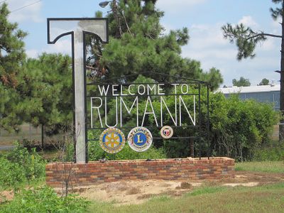
Trumann, city in Arkansas
Location: Poinsett County
Elevation above the sea: 69 m
GPS coordinates: 35.67640,-90.51920
Latest update: March 3, 2025 21:09
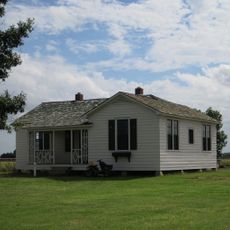
Farm No. 266—Johnny Cash Boyhood Home
26.3 km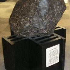
Paragould meteorite
35.7 km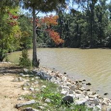
Lake Frierson State Park
37.5 km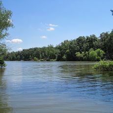
Lake Poinsett State Park
22.1 km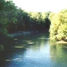
L'Anguille River
18.8 km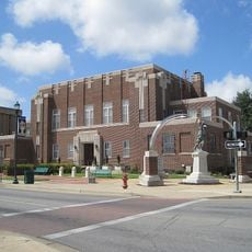
Craighead County Courthouse
24.5 km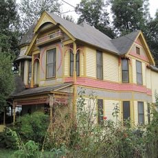
Bell House
24.4 km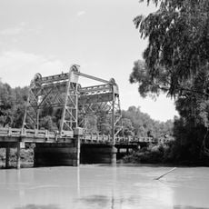
St. Francis River Bridge
17.8 km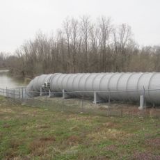
Marked Tree Lock and Siphons
12.9 km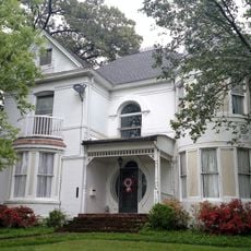
Berger House
24.1 km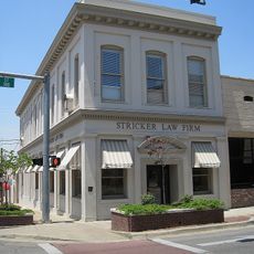
Mercantile Bank Building
24.8 km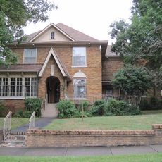
West Washington Avenue Historic District
24.9 km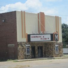
Maxie Theatre
694 m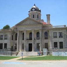
Poinsett County Courthouse
21.9 km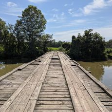
Craighead County Road 513C Bridge
28.5 km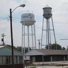
Tyronza Water Tower
25.4 km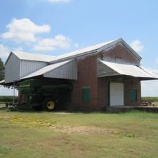
Judd Hill Cotton Gin
8.1 km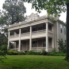
Frierson House
24.1 km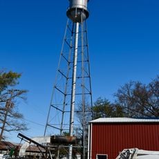
Keiser Water Tower
38.2 km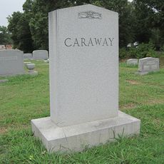
US Sen. Hattie Caraway Gravesite
26.7 km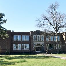
Keiser School
38.4 km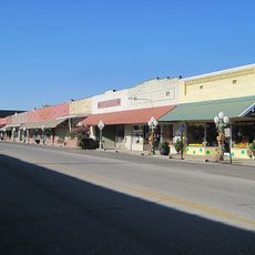
Lepanto Commercial Historic District
18.6 km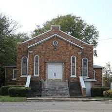
Tyronza Methodist Episcopal Church, South
25.3 km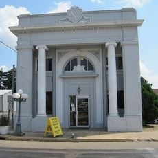
First National Bank Building
28.8 km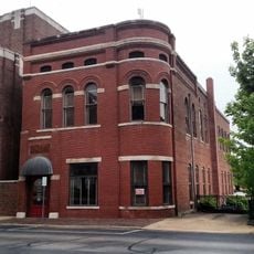
Edward L. Westbrooke Building
24.6 km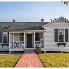
Johnny Cash Boyhood Home
26.3 km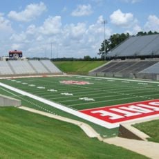
Centennial Bank Stadium
23.4 km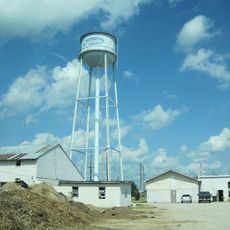
Monette Water Tower
28.8 kmReviews
Visited this place? Tap the stars to rate it and share your experience / photos with the community! Try now! You can cancel it anytime.
Discover hidden gems everywhere you go!
From secret cafés to breathtaking viewpoints, skip the crowded tourist spots and find places that match your style. Our app makes it easy with voice search, smart filtering, route optimization, and insider tips from travelers worldwide. Download now for the complete mobile experience.

A unique approach to discovering new places❞
— Le Figaro
All the places worth exploring❞
— France Info
A tailor-made excursion in just a few clicks❞
— 20 Minutes