Poinsett County, Administrative county in Arkansas, United States
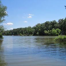
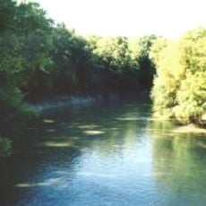
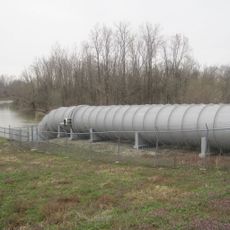
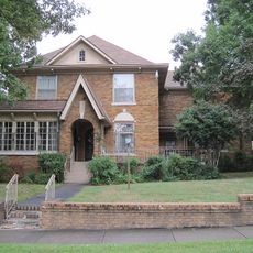
Poinsett County is an administrative division in northeast Arkansas with rolling terrain shaped by agricultural use and natural features. The landscape is crossed by the L'Anguille River, which flows through farmland and woodland areas.
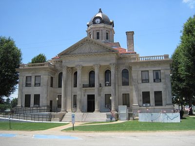
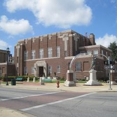
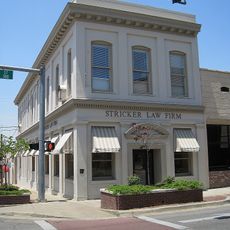
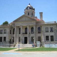
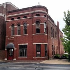
The county was established in 1838 and named after Joel Roberts Poinsett, a prominent figure in American history. The county seat relocated to Harrisburg in 1859, becoming the center of local government.
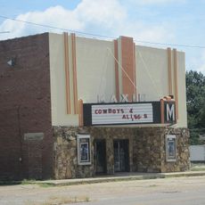
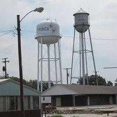
The Southern Tenant Farmers Union emerged in Tyronza in 1935 as a grassroots movement of farm workers organizing for better treatment and working conditions. This organization became a notable voice for agricultural laborers across the region.
County offices in Harrisburg operate on standard business days and provide administrative services to the public. Plan your visit during weekday hours to access services and local government resources.
Lake Poinsett State Park sits within the county boundaries and features natural water areas and recreational spaces. The park provides outdoor opportunities that many travelers overlook when exploring the region.
Location: Arkansas
Inception: February 28, 1838
Capital city: Harrisburg
Shares border with: Craighead County, Cross County, Mississippi County, Crittenden County, Jackson County
Website: http://poinsettcounty.us
GPS coordinates: 35.57139,-90.66000
Latest update: December 10, 2025 09:00
Parkin Archeological State Park
34.1 km
Farm No. 266—Johnny Cash Boyhood Home
37.7 km
Lake Poinsett State Park
5 km
L'Anguille River
11.5 km
Craighead County Courthouse
29.9 km
Bell House
29.5 km
St. Francis River Bridge
34.5 km
Marked Tree Lock and Siphons
20.9 km
East Hamilton Avenue Historic District
41 km
Berger House
29.3 km
Berry Cemetery
35.2 km
Mercantile Bank Building
30.2 km
West Washington Avenue Historic District
30.1 km
Maxie Theatre
17.1 km
Poinsett County Courthouse
5.3 km
John H. Johnston Cotton Gin Historic District
36.1 km
Tyronza Water Tower
28.8 km
Judd Hill Cotton Gin
13.3 km
Frierson House
29.3 km
New Hope School
40.9 km
US Sen. Hattie Caraway Gravesite
30.5 km
Lepanto Commercial Historic District
30.2 km
Tyronza Methodist Episcopal Church, South
28.7 km
Giboney-Robertson-Stewart House
40.1 km
Edward L. Westbrooke Building
29.9 km
Johnny Cash Boyhood Home
37.7 km
Wynne Wholesale Commercial Historic District
40.3 km
Centennial Bank Stadium
30.9 kmVisited this place? Tap the stars to rate it and share your experience / photos with the community! Try now! You can cancel it anytime.
Discover hidden gems everywhere you go!
From secret cafés to breathtaking viewpoints, skip the crowded tourist spots and find places that match your style. Our app makes it easy with voice search, smart filtering, route optimization, and insider tips from travelers worldwide. Download now for the complete mobile experience.
A unique approach to discovering new places❞
— Le Figaro
All the places worth exploring❞
— France Info
A tailor-made excursion in just a few clicks❞
— 20 Minutes