Carroll County, Administrative county in northwestern Arkansas, US.
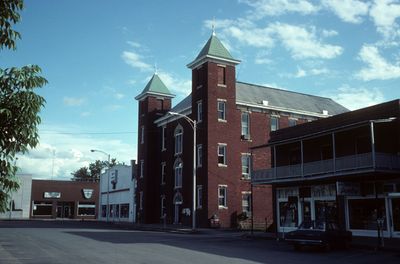
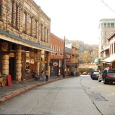
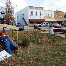
Carroll County is an administrative region in northwestern Arkansas spanning over 600 square miles between the Ozark and Boston Mountain ranges. Two county seats, Berryville and Eureka Springs, serve as the main centers of governance and commerce.
Established in 1833, this region was named after Charles Carroll, the last surviving signer of the Declaration of Independence. This connection to the nation's founding reflects the values early settlers brought to the territory.
The Trail of Tears passes through this region, marking the forced relocation of Native American tribes and serving as a place of remembrance for visitors. This path carries deep meaning in conversations about the region's past.
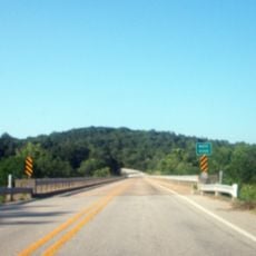
The region is well-connected by main highways including U.S. Routes 62 and 412, making travel between communities straightforward. These routes provide access to most towns and attractions throughout the area.
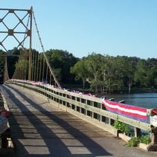
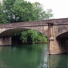
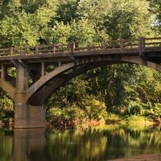
The Kings River naturally divides this area into eastern and western districts, creating two distinct administrative zones within the same county. This geographic split influences local governance and community identity in subtle ways.
Location: Arkansas
Inception: November 1, 1833
Capital city: Berryville
Shares border with: Stone County, Taney County, Boone County, Newton County, Madison County, Barry County, Benton County
Website: http://co.carroll.ar.us
GPS coordinates: 36.36806,-93.49639
Latest update: December 7, 2025 19:26
Beaver Lake
32 km
Christ of the Ozarks
21 km
Onyx Cave
18.7 km
Blue Springs Heritage Center
30.4 km
Beaver Bridge
26.9 km
Eureka Springs and North Arkansas Railway
21.9 km
Turpentine Creek Wildlife Refuge
24.2 km
Quigley's Castle
23.4 km
Lake Leatherwood City Park
24.8 km
Eureka Springs Historic District
22 km
Basin Park Hotel
21.9 km
U.S. 62 White River Bridge
30.7 km
White River Bridge at Elkins
26.9 km
Green Forest Water Tower
6.6 km
Yell Masonic Lodge Hall
19.6 km
Shady Grove Delmar Church and School
26.1 km
Winona Church and School
17.1 km
Carroll County Courthouse, Eastern District
6.4 km
Mulladay Hollow Bridge
25.2 km
Dog Branch School
22.2 km
Mo-Ark Baptist Academy
16.9 km
Berryville Agriculture Building
7.1 km
Concord School House
16.9 km
Sanitarium Lake Bridges Historic District
21.4 km
War Eagle Creek Bridge
32.5 km
W.D. Crawford House
1.7 km
Berryville Commercial Historic District
6.4 km
Eureka Springs Historical Museum
22.2 kmVisited this place? Tap the stars to rate it and share your experience / photos with the community! Try now! You can cancel it anytime.
Discover hidden gems everywhere you go!
From secret cafés to breathtaking viewpoints, skip the crowded tourist spots and find places that match your style. Our app makes it easy with voice search, smart filtering, route optimization, and insider tips from travelers worldwide. Download now for the complete mobile experience.
A unique approach to discovering new places❞
— Le Figaro
All the places worth exploring❞
— France Info
A tailor-made excursion in just a few clicks❞
— 20 Minutes