Blue Springs Heritage Center, Botanical garden in Eureka Springs, Arkansas.
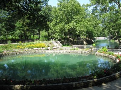
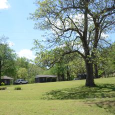
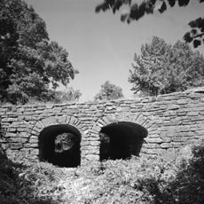
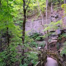
Blue Springs Heritage Center is a 33-acre botanical garden featuring native plants, hardwood forests, woodlands, meadows, and hillsides arranged along the Arkansas Heritage Trails system. The site centers around a natural spring that feeds clear water through the grounds.
Indigenous peoples including Cherokee, Osage, and Quapaw continuously occupied the spring site over many centuries. This long history demonstrates the water source's importance to native communities throughout the region.
The spring holds spiritual importance for several Native American tribes including Lenape, Muskogee, Cherokee, and Lakota who gather here to conduct traditional ceremonies. Visitors can sense the deep connection these peoples maintain with this water source.
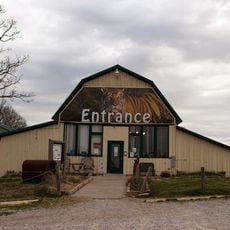
The site opens its grounds during warmer months and features walking paths throughout the gardens and wooded areas. Ample parking is available near Highway 62 West, making it easy to access the various garden sections on foot.
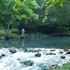
The spring flows millions of gallons of crystal-clear water daily into a natural lagoon where trout swim freely. Visitors can watch these fish up close and witness the raw power of the spring's water production.
The community of curious travelers
AroundUs brings together thousands of curated places, local tips, and hidden gems, enriched daily by 60,000 contributors worldwide.