Kent County

Log in to your account

AroundUs is a community-driven map of interesting places, built by curious explorers like you. It grows with every review, story, and photo you share.
Connect to save your favorite spots, contribute locations, and create personalized routes.
Continue with Google
Continue with Apple
Continue with X
Continue with Facebook
Continue with email
By continuing, you accept our Terms and Conditions and our Privacy Policy
Create an account
Add to collection
Map
Suggest a change
Share

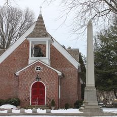
Kent County, Administrative county in central Delaware, US

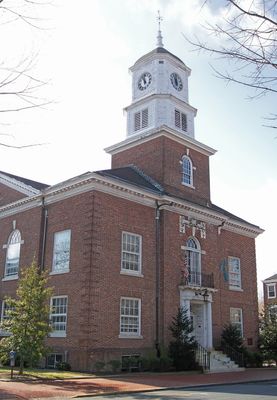
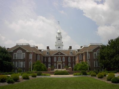
Kent County is an administrative county in central Delaware positioned between New Castle County to the north and Sussex County to the south. The territory encompasses various communities and towns, with Dover serving as the county seat and largest population center.

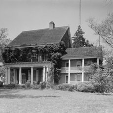
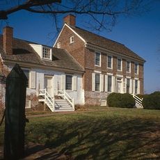
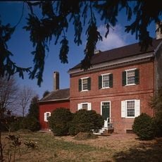
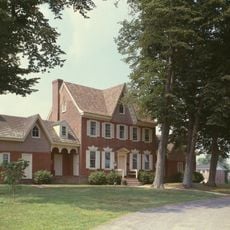
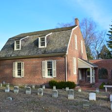
English settlers began establishing themselves in the St. Jones River valley starting in 1670, leading to the formal establishment of the county as an administrative division in 1683. The area developed as an important trading center and administrative hub during the colonial period.

The area maintains eight administrative hundreds, a traditional English subdivision system that continues to shape local governance today. This historical division reflects deep colonial ties and remains central to how the territory is organized.

Dover Air Force Base is a major institution within the area and provides visitors insight into aviation history and military operations. When exploring the region, keep in mind that access to certain areas may be restricted and visitor centers or museums offer the best starting points.

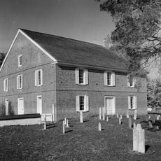
The area is home to an Amish community established through migrations beginning in 1915, organized across multiple church districts today. This presence makes the region an interesting place to observe traditional ways of life within the modern world.

Location: Delaware

Inception: 1683

Capital city: Dover

Shares border with: New Castle County, Sussex County, Caroline County, Queen Anne's County, Kent County

Website: https://kentcountyde.gov

GPS coordinates: 39.10000,-75.50000

Latest update: December 17, 2025 08:10

Photos
Around this place
Dover Motor Speedway
United States of America

Dover Motor Speedway

10.3 km
Bombay Hook National Wildlife Refuge
United States of America

Bombay Hook National Wildlife Refuge

17.9 km
Air Mobility Command Museum
United States of America

Air Mobility Command Museum

4.2 km
Delaware Legislative Hall
United States of America

Delaware Legislative Hall

6.6 km
Delaware Governor's Mansion
United States of America

Delaware Governor's Mansion

7.1 km
Killens Pond State Park
United States of America

Killens Pond State Park

13.4 km
John Dickinson House
United States of America

John Dickinson House

4.4 km
Barratt's Chapel
United States of America

Barratt's Chapel

9.1 km
United States of America

Alumni Stadium

10.6 km
Prime Hook National Wildlife Refuge
United States of America

Prime Hook National Wildlife Refuge

34.6 km
Ship John Shoal Light
United States of America

Ship John Shoal Light

25.2 km
Old Statehouse
United States of America

Old Statehouse

6.6 km
Memorial Hall
United States of America

Memorial Hall

10.4 km
Fourteen Foot Bank Light
United States of America

Fourteen Foot Bank Light

27.9 km
Elbow of Cross Ledge Light
United States of America

Elbow of Cross Ledge Light

22 km
Silver Lake
United States of America

Silver Lake

9 km
Miah Maull Shoal Light
United States of America

Miah Maull Shoal Light

25.2 km
Fort Saulsbury
United States of America

Fort Saulsbury

23.6 km
Dover Green Historic District
United States of America

Dover Green Historic District

6.5 km
Mispillion Light
United States of America

Mispillion Light

23.3 km
Christ Church
United States of America

Christ Church

6.4 km
Aspendale
United States of America

Aspendale

21 km
First State Heritage Park
United States of America

First State Heritage Park

6.8 km
Belmont Hall
United States of America

Belmont Hall

23.2 km
United States of America

Maggie S. Myers

15.8 km
Parson Thorne Mansion
United States of America

Parson Thorne Mansion

21.5 km
Cross Ledge Light
United States of America

Cross Ledge Light

26 km
Camden Friends Meetinghouse
United States of America

Camden Friends Meetinghouse

4.5 km
Show the full map
Reviews

Visited this place? Tap the stars to rate it and share your experience / photos with the community! Try now! You can cancel it anytime.

Administrative divisions
« Kent County - Administrative county in central Delaware, US » is provided by Around Us (aroundus.com). Images and texts are derived from Wikimedia project under a Creative Commons license. You are allowed to copy, distribute, and modify copies of this page, under the conditions set by the license, as long as this note is clearly visible.

Discover hidden gems everywhere you go!

From secret cafés to breathtaking viewpoints, skip the crowded tourist spots and find places that match your style. Our app makes it easy with voice search, smart filtering, route optimization, and insider tips from travelers worldwide. Download now for the complete mobile experience.

Around Us App Screenshot

A unique approach to discovering new places

Le Figaro

All the places worth exploring

France Info

A tailor-made excursion in just a few clicks

20 Minutes