Hayesville, town in Clay County, North Carolina, United States
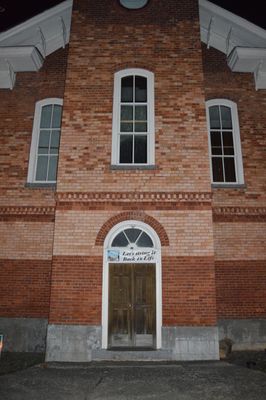
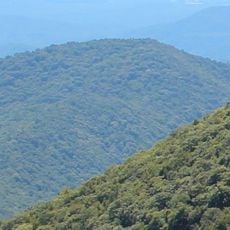
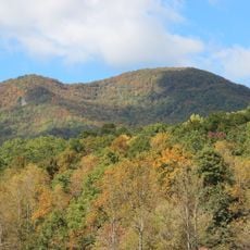
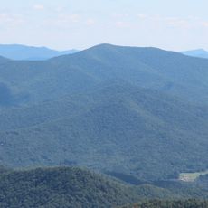
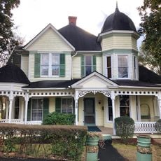
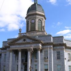
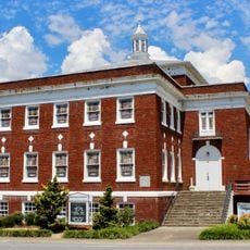
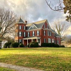
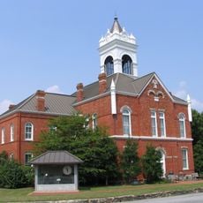
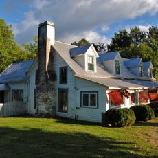
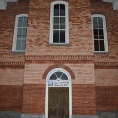
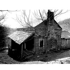
Hayesville is a small town in the North Carolina mountains that sits along the edge of the Hiwassee River and is surrounded by the Blue Ridge Mountains. The downtown features old brick buildings including a late 1800s courthouse, along with shops, museums, and historic homes that line the streets and tell stories of the area's past.
Hayesville was founded on a platform mound built by Native Americans around the year 1000 and used for community gatherings; the Cherokee later settled there and called it Quanassee. In the 1800s the town became a trading hub between Cherokee villages, was officially named after politician George Hayes in the 1860s, and gained new economic momentum when the railroad arrived in the 1920s.
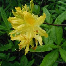
Hayesville carries deep roots in Cherokee culture and Appalachian traditions that remain alive through music and crafts visible throughout the town. Annual gatherings like the Festival on the Square and Christmas parade show how neighbors value community connection and shared local customs that shape daily life here.
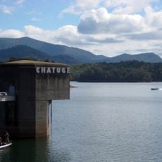
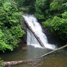
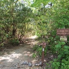
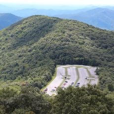
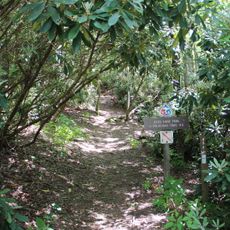
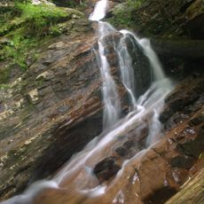
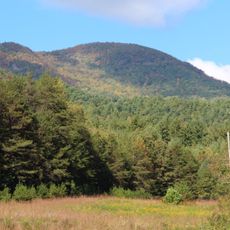
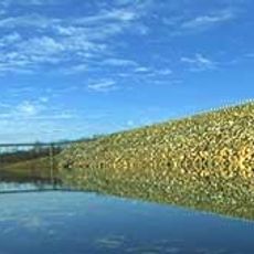
The downtown is easy to explore on foot, with shops, museums, and historic buildings scattered along the streets for visitors to discover at their own pace. Nearby Chatuge Lake and the surrounding mountains offer opportunities for fishing, boating, and hiking for those wanting to spend time outdoors.
The area was an important gathering place long before modern settlement, thanks to a platform mound left by early inhabitants around the year 1000 that lies beneath the present-day town. This archaeological feature makes Hayesville a place with over 1000 years of human history layered directly below the streets visitors walk on.
The community of curious travelers
AroundUs brings together thousands of curated places, local tips, and hidden gems, enriched daily by 60,000 contributors worldwide.