Clay County, Administrative division in southwestern North Carolina, United States.
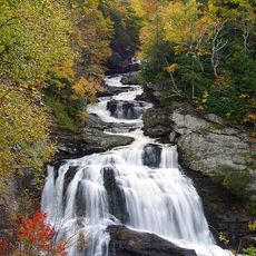
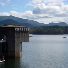
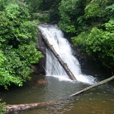
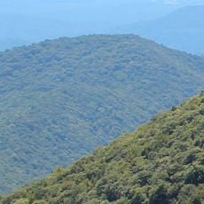
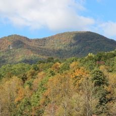
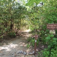
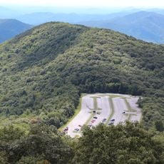
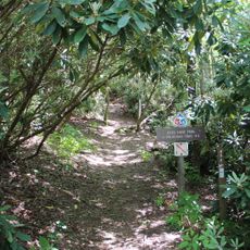
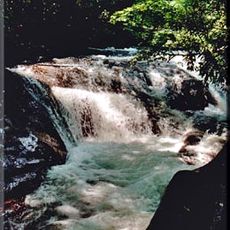
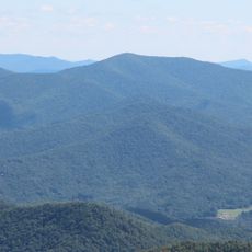
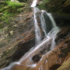
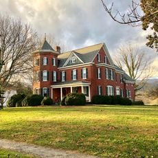
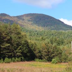
Clay County is an administrative region in the mountains of southwestern North Carolina with Hayesville serving as its seat. The area spans rolling and forested terrain crossed by local roads that connect scattered communities throughout the county.
The county was formed in 1861 during the American Civil War as a new administrative division of North Carolina. Its creation reflected a reorganization of state governance during that turbulent period.
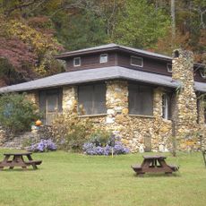
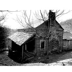
This county region has roots in mining heritage that shaped generations of families and remains part of local identity today. The mountain landscape and local traditions continue to influence how residents connect with their surroundings.
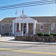
Visitors can find government services and local information through the Clay County Government website where updates and announcements appear regularly. The best time to visit is during warmer months when mountain roads are easier to travel.
The county pioneered digital court operations by implementing an electronic filing system that replaced traditional paper-based procedures. This modernization helped local administration become faster and more efficient.
The community of curious travelers
AroundUs brings together thousands of curated places, local tips, and hidden gems, enriched daily by 60,000 contributors worldwide.