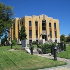
Pemiscot County, Administrative county seat in southeastern Missouri, United States.
Pemiscot County spreads along the Mississippi River with Caruthersville as its administrative center. The landscape is dominated by agricultural areas, while the river has long provided commerce and transportation for residents.
The county was established in 1851 and developed as an important trading center along the Mississippi. Fertile soils and river proximity have shaped its economic story since then.
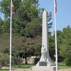
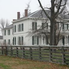
The name comes from a Fox language word meaning liquid mud, reflecting the soil's nature. Visitors can experience local traditions and community gatherings in Caruthersville that shape the region's rural character.
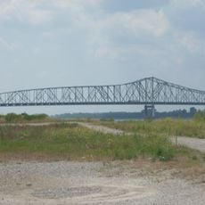
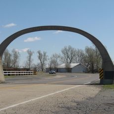
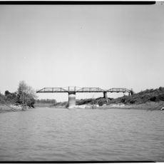
The Caruthersville Bridge is the sole Mississippi River crossing between Cairo and Memphis, connecting the county to Tennessee. Visitors should know that river access shapes the region, with main routes best approached from north or south.
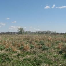
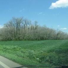
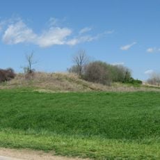
The region is known for fertile alluvial soils created by regular Mississippi flooding over centuries. These nutrient-rich deposits make it one of the state's most productive farming zones.
The community of curious travelers
AroundUs brings together thousands of curated places, local tips, and hidden gems, enriched daily by 60,000 contributors worldwide.