Enable Location

We need your location to show you interesting places around you

Discover nearby places

Find interesting locations and hidden gems around you

Precise directions

Get accurate directions and distances to places

Your location is never shared with other users. It's only used when you tap the location button.

Boyd County

Log in to your account

Start exploring — it's free

Trusted by 61,813 travelers worldwide

Continue with Google
Continue with Apple
or

We will send you a code to connect

By continuing, you accept our Terms and Conditions and our Privacy Policy

Check your inbox

We've sent a pincode in your inbox. Please enter the code below.

Boyd County, County in Nebraska, United States.

Description

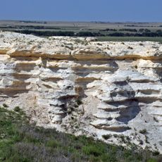
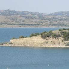
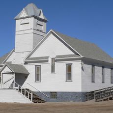
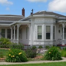
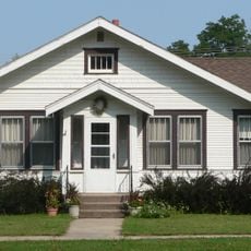
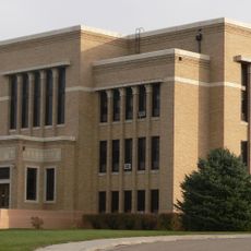
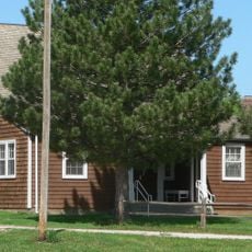
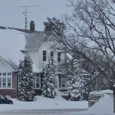
Boyd County is an administrative division in northeastern Nebraska that encompasses a rural landscape with eight villages, including the county seat of Butte. The region stretches across grasslands and farmland typical of the Great Plains.

History

The county was established in 1891 and named after James E. Boyd, who served as governor of Nebraska at that time. This naming reflected the prominence of political leadership during the territorial expansion period of the state.

Culture

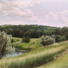
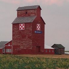
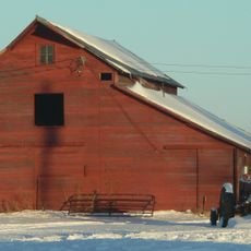
Life here revolves around farming and local gatherings that bring communities together throughout the year. These practices shape how people in the area live and work together.

Practical

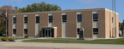
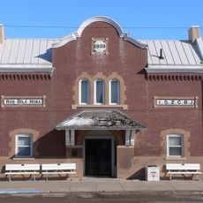
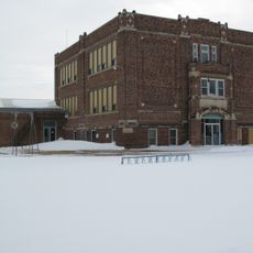
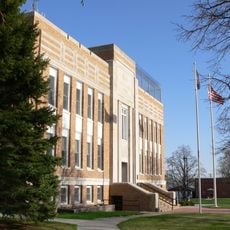
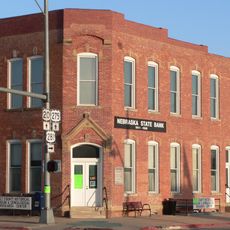
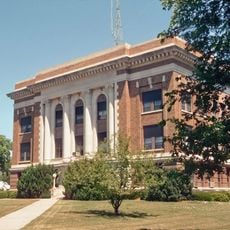
The county seat in Butte serves as the hub for administrative matters and local services for residents and visitors. Planning a visit to conduct official business or explore the area works best during standard weekday hours.

Did you know?

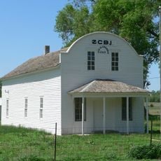
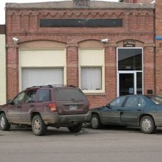
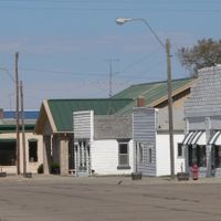
The village of Monowi within this county holds the rare distinction of being the only incorporated municipality in the United States with a single resident. This unusual status makes it a genuine oddity in American geography.

Location
Inception
1891
Capital city
Butte
Shares border with
Charles Mix County, Holt County, Keya Paha County, Rock County, Knox County, Gregory County
GPS coordinates
42.90000,-98.77000
Latest update
December 7, 2025 20:42

AroundUs brings together thousands of curated places, local tips, and hidden gems, enriched daily by 60,000 contributors worldwide. Discover all places nearby (Nebraska).

Around this place
Niobrara Formation
United States of America

Niobrara Formation

62 km
Niobrara State Park
United States of America

Niobrara State Park

60.9 km
Chief Standing Bear Memorial Bridge
United States of America

Chief Standing Bear Memorial Bridge

65.3 km
United States of America

Lake Andes National Wildlife Refuge

41 km
Snake Creek Recreation Area
United States of America

Snake Creek Recreation Area

61.5 km
United States of America

White Horse Ranch

23.8 km
Carns State Aid Bridge
United States of America

Carns State Aid Bridge

60.9 km
Z.C.B.J. Opera House
United States of America

Z.C.B.J. Opera House

69 km
Lewis Bridge
United States of America

Lewis Bridge

71.4 km
Niobrara River Bridge
United States of America

Niobrara River Bridge

60.7 km
St. John's Catholic Church
United States of America

St. John's Catholic Church

66.3 km
Herrick Elevator
United States of America

Herrick Elevator

41.8 km
Delmont Public School
United States of America

Delmont Public School

63.9 km
Rad Sladkovsky
United States of America

Rad Sladkovsky

49.5 km
Rouse Ranch
United States of America

Rouse Ranch

26.8 km
Church of Christ in LaRoche Township
United States of America

Church of Christ in LaRoche Township

66.9 km
Brantly Sturdevant House
United States of America

Brantly Sturdevant House

44.7 km
Armour Historic District
United States of America

Armour Historic District

57.9 km
Holt County Courthouse
United States of America

Holt County Courthouse

50.1 km
Charles Mix County Courthouse
United States of America

Charles Mix County Courthouse

34.2 km
Old Nebraska State Bank Building
United States of America

Old Nebraska State Bank Building

50.3 km
Ponca Tribal Self-Help Community Building Historic District
United States of America

Ponca Tribal Self-Help Community Building Historic District

59.5 km
Rock County Courthouse
United States of America

Rock County Courthouse

71.8 km
Douglas County Courthouse
United States of America

Douglas County Courthouse

57.7 km
Delmont State Bank
United States of America

Delmont State Bank

64.3 km
Wagner House
United States of America

Wagner House

53.7 km
Gross State Aid Bridge
United States of America

Gross State Aid Bridge

65.3 km
Lake Francis Case
United States of America

Lake Francis Case

24.6 km
Show the full map
Administrative divisions
« Boyd County - County in Nebraska, United States » is provided by Around Us (aroundus.com). Images and texts are derived from Wikimedia project under a Creative Commons license. You are allowed to copy, distribute, and modify copies of this page, under the conditions set by the license, as long as this note is clearly visible.

Discover hidden gems everywhere you go!

From secret cafés to breathtaking viewpoints, skip the crowded tourist spots and find places that match your style. Our app makes it easy with voice search, smart filtering, route optimization, and insider tips from travelers worldwide. Download now for the complete mobile experience.

Around Us App Screenshot

A unique approach to discovering new places

Le Figaro

All the places worth exploring

France Info

A tailor-made excursion in just a few clicks

20 Minutes

Around Us
Travel Guide & Maps
Download

Send to your phone

QR Code
1

Open the camera app on your mobile.

2

Point at the QR code with your camera. A notification will appear.

3

Tap the notification to open the link.