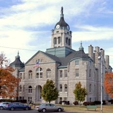
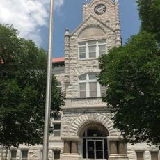
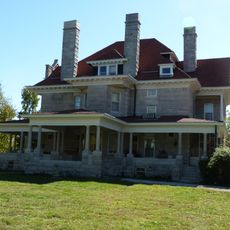
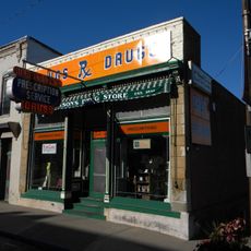
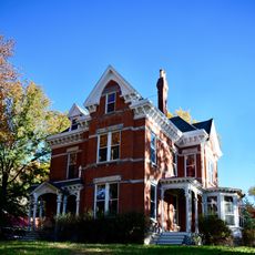
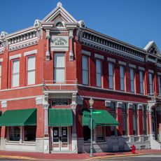
Cedar County, County in southwest Missouri, United States.
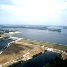
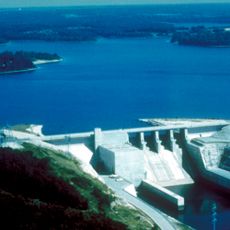
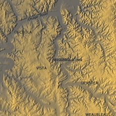
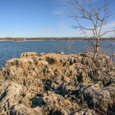
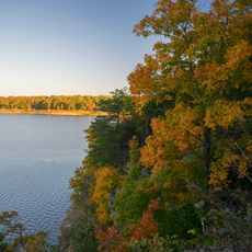
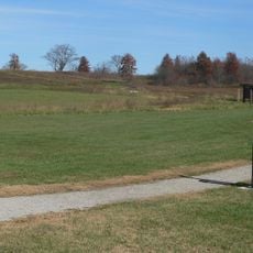
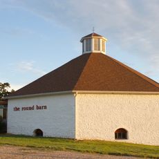
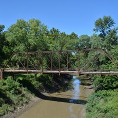
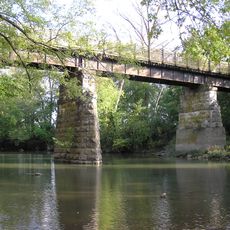
Cedar County is a county in southwest Missouri with forests, lakes, and river systems throughout its territory. The landscape features mixed woodlands and multiple water bodies that define the region's character.
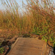
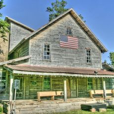
The county was established in 1845 as the region developed westward. During the Civil War, military forces transformed parts of the landscape, leaving marks that shaped the county's path forward.
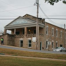
Baptist and Methodist churches anchor the religious life of the county and serve as gathering places in most towns. These institutions remain central to local identity and community activities.
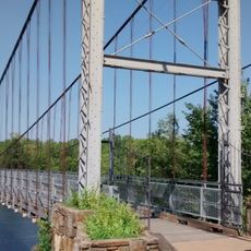
Several state and federal routes connect the county and provide access to different communities. These roads form the main transportation framework for getting around the area.
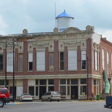
El Dorado Springs and Jerico Springs became popular destinations in the 1880s due to natural mineral springs. These water sources drew crowds seeking their supposed therapeutic properties.
Location: Missouri
Inception: February 14, 1845
Capital city: Stockton
Shares border with: St. Clair County, Dade County, Vernon County, Barton County, Polk County
Website: http://cedarcountymo.gov
GPS coordinates: 37.72000,-93.86000
Latest update: December 10, 2025 15:55
Truman Reservoir
72.5 km
Stockton Lake
11.7 km
Fantastic Caverns
65.4 km
Weaubleau structure
35.4 km
Harry S Truman Birthplace State Historic Site
44 km
Prairie State Park
66.9 km
Pomme de Terre State Park
50.6 km
Harry S Truman State Park
72.5 km
Osage Village State Historic Site
42.3 kmFort Carondelet
46.9 km
Upper Bridge
71.6 km
Caplinger Mills Historic District
9.9 km
Golden Prairie
47.3 km
George Dimmitt Memorial Hospital
26.3 km
Lawrence County Courthouse
68.7 km
Gilmore Barn
53.8 km
Bolivar Public Library
41.4 km
Vernon County Courthouse
45.7 km
Greenfield Opera House
34 km
Papinville Marais des Cygnes River Bridge
50.7 km
Stockton Community Building
6.1 km
Boegel and Hine Flour Mill-Wommack Mill
73 km
Phelps Country Estate
62 km
Glasgow Commercial Historic District
56.4 km
South Main Street Historic District
49.7 km
Henry County Museum
72.8 km
SLSF Sac River Bridge
41.6 km
Caplinger Mills Bridge
9.8 kmVisited this place? Tap the stars to rate it and share your experience / photos with the community! Try now! You can cancel it anytime.
Discover hidden gems everywhere you go!
From secret cafés to breathtaking viewpoints, skip the crowded tourist spots and find places that match your style. Our app makes it easy with voice search, smart filtering, route optimization, and insider tips from travelers worldwide. Download now for the complete mobile experience.
A unique approach to discovering new places❞
— Le Figaro
All the places worth exploring❞
— France Info
A tailor-made excursion in just a few clicks❞
— 20 Minutes