Menifee County

Log in to your account

AroundUs is a community-driven map of interesting places, built by curious explorers like you. It grows with every review, story, and photo you share.
Connect to save your favorite spots, contribute locations, and create personalized routes.
Continue with Google
Continue with Apple
Continue with X
Continue with Facebook
Continue with email
By continuing, you accept our Terms and Conditions and our Privacy Policy
Create an account
Add to collection
Map
Suggest a change
Share

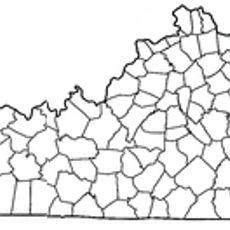
Menifee County, Administrative county in eastern Kentucky, United States.

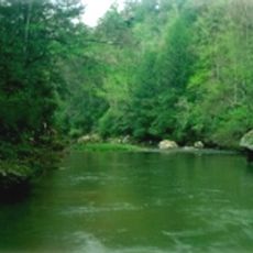
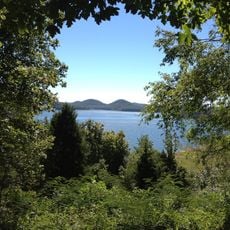
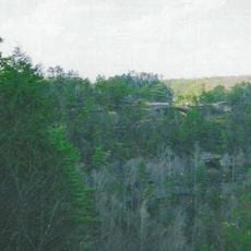
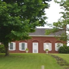
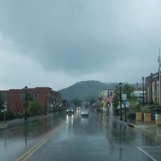
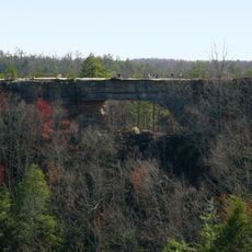
Menifee County is an administrative division in eastern Kentucky situated in the foothills of the Cumberland Plateau with extensive forests and mountainous landscape. The county spans across rural communities and portions of Daniel Boone National Forest.

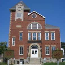
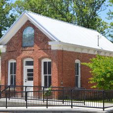
The county was established on March 10, 1869, combining territories from Bath, Montgomery, Morgan, Powell, and Wolfe counties. Frenchburg was designated as its administrative center and has served that role since then.

The Menifee Community Theatre Group organizes theatrical productions and festivals that showcase local stories and regional traditions throughout the calendar year.

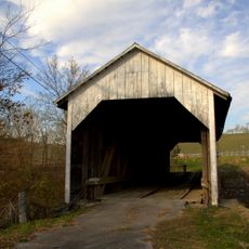
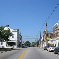
Frenchburg serves as the administrative hub for local services and is easily accessible within the county. The region is best explored by car since rural communities are scattered and public transportation options are limited.

During the severe weather event of March 2, 2012, an EF3 tornado struck Menifee County, causing structural damage and marking a significant moment in local history.

Location: Kentucky

Inception: March 10, 1869

Capital city: Frenchburg

Shares border with: Rowan County, Morgan County, Wolfe County, Powell County, Montgomery County, Bath County

Website: http://menifeecounty.ky.gov

GPS coordinates: 37.95000,-83.60000

Latest update: December 10, 2025 15:53

Photos
Around this place
Red River Gorge
United States of America

Red River Gorge

12.9 km
Cave Run Lake
United States of America

Cave Run Lake

17.5 km
Jayne Stadium
United States of America

Jayne Stadium

31 km
United States of America

Pilot Knob State Nature Preserve

29.8 km
Furnace Mountain
United States of America

Furnace Mountain

29.3 km
Kentucky Reptile Zoo
United States of America

Kentucky Reptile Zoo

19.7 km
Kentucky Folk Art Center
United States of America

Kentucky Folk Art Center

29.5 km
Clifty Wilderness
United States of America

Clifty Wilderness

13.8 km
Confederate Monument of Mt. Sterling
United States of America

Confederate Monument of Mt. Sterling

31.4 km
KEAS Tabernacle Christian Methodist Episcopal Church
United States of America

KEAS Tabernacle Christian Methodist Episcopal Church

32 km
Hillsboro Covered Bridge
United States of America

Hillsboro Covered Bridge

34.2 km
Enoch Smith House
United States of America

Enoch Smith House

33.7 km
Confederate Monument in Owingsville
United States of America

Confederate Monument in Owingsville

25.6 km
Rowan County Courthouse
United States of America

Rowan County Courthouse

29.9 km
Methodist Episcopal Church South
United States of America

Methodist Episcopal Church South

32.2 km
Church of the Ascension
United States of America

Church of the Ascension

32.4 km
Downtown Morehead Historic District
United States of America

Downtown Morehead Historic District

29.4 km
William L. Hurst Law Office
United States of America

William L. Hurst Law Office

24.4 km
Raccoon John Smith House
United States of America

Raccoon John Smith House

26.2 km
Thomas Deye Owings House
United States of America

Thomas Deye Owings House

26 km
Judge John E. Cooper House
United States of America

Judge John E. Cooper House

30 km
J.J. Nesbitt House
United States of America

J.J. Nesbitt House

26.1 km
Clay City National Bank Building
United States of America

Clay City National Bank Building

29.9 km
Owingsville Commercial District and Courthouse Square
United States of America

Owingsville Commercial District and Courthouse Square

26 km
United States of America

Brushy Voting House No. 6

32.6 km
Morgan County Courthouse
United States of America

Morgan County Courthouse

30.4 km
Natural Bridge State Resort Park
United States of America

Natural Bridge State Resort Park

20.9 km
Sheltowee Falls Splash Pad
United States of America

Sheltowee Falls Splash Pad

29.9 km
Show the full map
Reviews

Visited this place? Tap the stars to rate it and share your experience / photos with the community! Try now! You can cancel it anytime.

« Menifee County - Administrative county in eastern Kentucky, United States » is provided by Around Us (aroundus.com). Images and texts are derived from Wikimedia project under a Creative Commons license. You are allowed to copy, distribute, and modify copies of this page, under the conditions set by the license, as long as this note is clearly visible.

Discover hidden gems everywhere you go!

From secret cafés to breathtaking viewpoints, skip the crowded tourist spots and find places that match your style. Our app makes it easy with voice search, smart filtering, route optimization, and insider tips from travelers worldwide. Download now for the complete mobile experience.

Around Us App Screenshot

A unique approach to discovering new places

Le Figaro

All the places worth exploring

France Info

A tailor-made excursion in just a few clicks

20 Minutes