Carroll County, County in Maryland, US
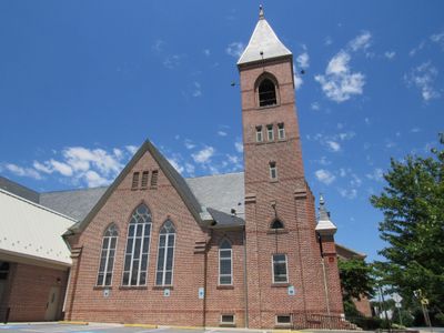
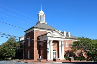
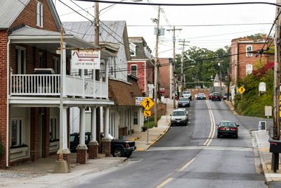
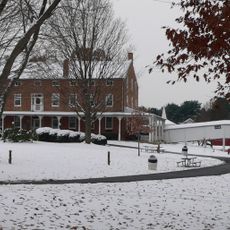
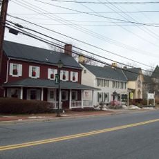
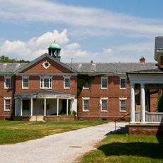
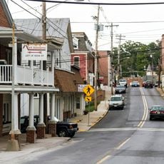
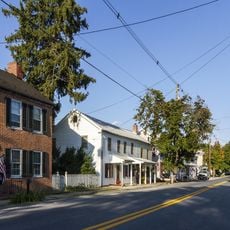
Carroll County sits in central Maryland and consists of a mix of rural villages, farmland, and growing suburban areas. The landscape features gentle hills, wooded sections, and several waterways that provide drainage and recreation throughout the region.
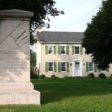
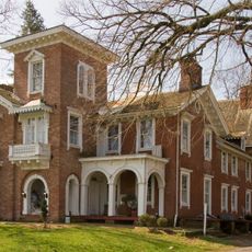
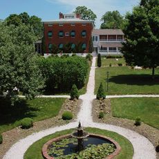
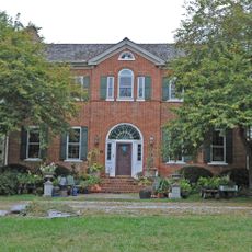
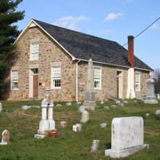
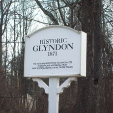
The area was established in 1837 and named after Charles Carroll, a signer of the Declaration of Independence. Its creation was part of Maryland's administrative reorganization during a period of growing settlement expansion.
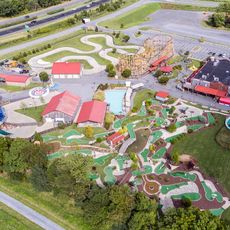
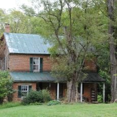
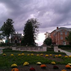
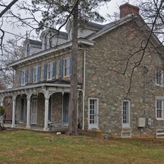
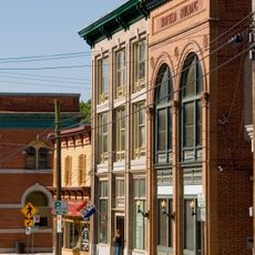
The region reflects the heritage of its earlier settlers through local customs and the way communities gather for fairs, markets, and seasonal celebrations. People here maintain connections to agricultural traditions and family-oriented events that shape daily life.
Visitors can explore the various towns and attractions by car, as the area is crossed by main roads and highways. Traffic tends to be heavier toward surrounding cities during typical rush hours, so plan accordingly.
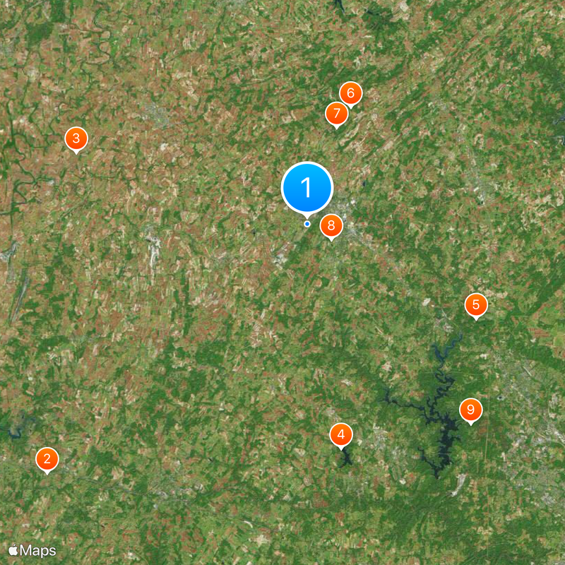
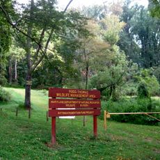
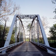
An old pathway passing through the region connected historical trade routes and shows how people traveled through the landscape for centuries. This route remains in use today by hikers and cyclists and largely follows the original lines from earlier times.
The community of curious travelers
AroundUs brings together thousands of curated places, local tips, and hidden gems, enriched daily by 60,000 contributors worldwide.