Enable Location

We need your location to show you interesting places around you

Discover nearby places

Find interesting locations and hidden gems around you

Precise directions

Get accurate directions and distances to places

Your location is never shared with other users. It's only used when you tap the location button.

Glyndon Historic District

Log in to your account

Start exploring — it's free

Trusted by 62,376 travelers worldwide

Continue with Google
Continue with Apple
or

We will send you a code to connect

By continuing, you accept our Terms and Conditions and our Privacy Policy

Check your inbox

We've sent a pincode in your inbox. Please enter the code below.

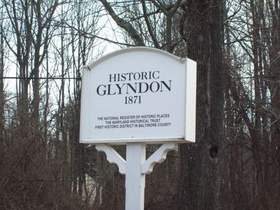
Glyndon Historic District, Historic district in Glyndon, Maryland.

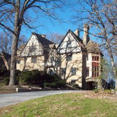
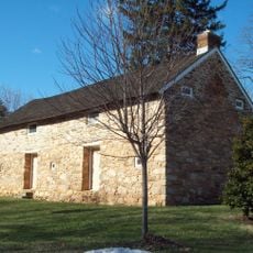
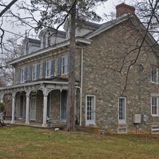
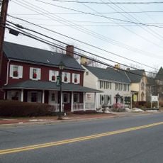
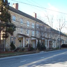
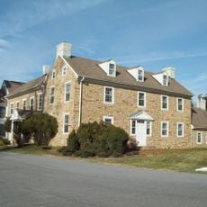
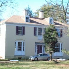
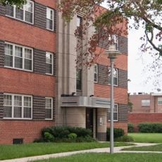
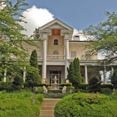
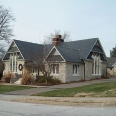
Glyndon Historic District is a residential area in Maryland with homes and a small commercial section centered near the intersection of Butler Road and Western Maryland Railway tracks. The area spans approximately 560 acres and contains a collection of Colonial Revival and Late Victorian style structures.

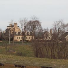
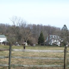
The settlement formed after Western Maryland Railroad arrived in 1860, developing into a Victorian summer village. The rail line made it possible for people from surrounding areas to build homes here and establish their communities.

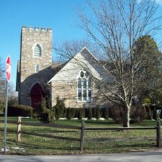
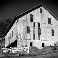
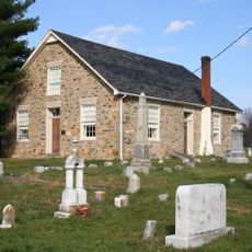
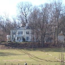
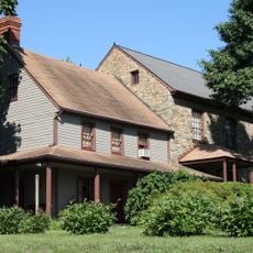
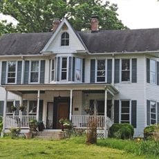
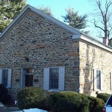
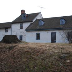
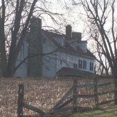
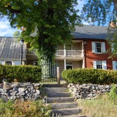
The buildings showcase everyday architecture of the late 1800s, with simple wooden homes, front porches, and Victorian details that reflect the daily life of residents at that time. These structures offer a glimpse into how people lived in a rural community during this era.

Visitors can explore the area on foot to see the various homes and structures from the 1800s. It helps to start around the intersection of Butler Road to get a sense of how the buildings are arranged throughout the district.

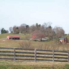
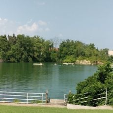
Adjacent to the district sits the Emory Grove Campground, founded in 1868 originally as a tourist lodging site. The grounds later transformed into a religious community with simple wooden cabins that still stand today.

The community of curious travelers

AroundUs brings together thousands of curated places, local tips, and hidden gems, enriched daily by 60,000 contributors worldwide.

Start exploring
Location
GPS coordinates
39.47500,-76.81060
Latest update
December 14, 2025 18:46
Around this place
The Cloisters
United States of America

The Cloisters

13.9 km
Baltimore Country Club
United States of America

Baltimore Country Club

13.2 km
Sudbrook Park
United States of America

Sudbrook Park

14 km
Fort Garrison
United States of America

Fort Garrison

12.2 km
Worthington Valley Historic District
United States of America

Worthington Valley Historic District

5.5 km
Brooklandwood
United States of America

Brooklandwood

12.5 km
Green Spring Valley Historic District
United States of America

Green Spring Valley Historic District

10.7 km
Stone Hall
United States of America

Stone Hall

10.3 km
Choate House
United States of America

Choate House

11 km
Reisterstown Historic District
United States of America

Reisterstown Historic District

1.8 km
Rockland Historic District
United States of America

Rockland Historic District

14.8 km
Caves Valley Historic District
United States of America

Caves Valley Historic District

6.5 km
Wesley Chapel Methodist Episcopal Church
United States of America

Wesley Chapel Methodist Episcopal Church

15.1 km
Rockland
United States of America

Rockland

14.4 km
Moses Brown House
United States of America

Moses Brown House

13.9 km
Granite Historic District
United States of America

Granite Historic District

15 km
The Meadows
United States of America

The Meadows

8.3 km
Wester Ogle
United States of America

Wester Ogle

10.6 km
Mettam Memorial Baptist Church
United States of America

Mettam Memorial Baptist Church

13.3 km
Western Run-Belfast Road Historic District
United States of America

Western Run-Belfast Road Historic District

11.7 km
Samester Parkway Apartments
United States of America

Samester Parkway Apartments

15.1 km
Dumbarton Historic District
United States of America

Dumbarton Historic District

13.9 km
Branton Manor
United States of America

Branton Manor

11.5 km
Plinlimmon Farm
United States of America

Plinlimmon Farm

9.2 km
Baltimore County School No. 7
United States of America

Baltimore County School No. 7

14.6 km
Beaver Dam Swim Club
United States of America

Beaver Dam Swim Club

13.2 km
Robinson-Tabb House
United States of America

Robinson-Tabb House

7.4 km
Soldiers Delight Natural Environment Area
United States of America

Soldiers Delight Natural Environment Area

7.5 km
Show the full map
« Glyndon Historic District - Historic district in Glyndon, Maryland » is provided by Around Us (aroundus.com). Images and texts are derived from Wikimedia project under a Creative Commons license. You are allowed to copy, distribute, and modify copies of this page, under the conditions set by the license, as long as this note is clearly visible.

Discover hidden gems everywhere you go!

From secret cafés to breathtaking viewpoints, skip the crowded tourist spots and find places that match your style. Our app makes it easy with voice search, smart filtering, route optimization, and insider tips from travelers worldwide. Download now for the complete mobile experience.

Around Us App Screenshot

A unique approach to discovering new places

Le Figaro

All the places worth exploring

France Info

A tailor-made excursion in just a few clicks

20 Minutes

Around Us
Travel Guide & Maps
Download

Send to your phone

QR Code
1

Open the camera app on your mobile.

2

Point at the QR code with your camera. A notification will appear.

3

Tap the notification to open the link.