Reisterstown Historic District

Log in to your account

AroundUs is a community-driven map of interesting places, built by curious explorers like you. It grows with every review, story, and photo you share.
Connect to save your favorite spots, contribute locations, and create personalized routes.
Continue with Google
Continue with Apple
Continue with X
Continue with Facebook
Continue with email
By continuing, you accept our Terms and Conditions and our Privacy Policy
Create an account
Add to collection
Map
Suggest a change
Share

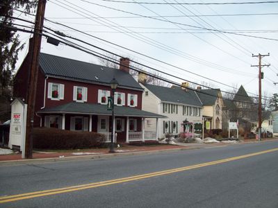
Reisterstown Historic District, Historical district in Reisterstown, Maryland

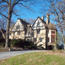
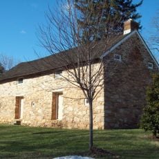
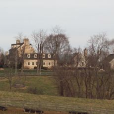
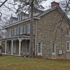
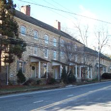
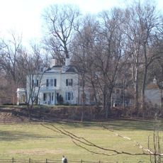
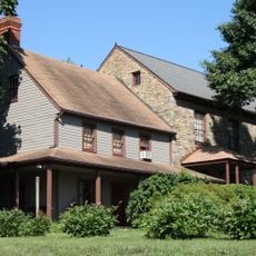
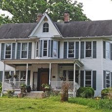
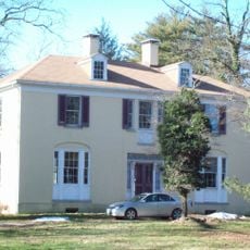
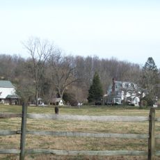
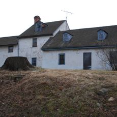
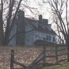
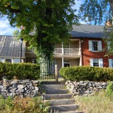
Reisterstown Historic District is a preserved area with numerous buildings from the late 1800s and early 1900s, mostly located along Main Street. The structures display varied architectural styles and occupy a large connected area with defined street patterns.

The area was founded in 1758 by John Reister, a German immigrant, and grew from a small settlement with a tavern into a trading center. Throughout the 1800s, the settlement expanded and gained most of the buildings that remain visible today.

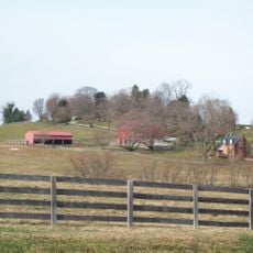
The district serves as the community's center, with buildings that show how people lived and worked across generations. The architecture and street layout reflect its importance as a gathering place and commercial hub for the area.

You can best explore the area on foot, taking in the buildings along Main Street and surrounding streets. Visitors should allow time for a leisurely walk to discover all the structures and their details at a comfortable pace.

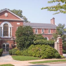
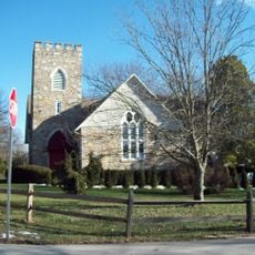
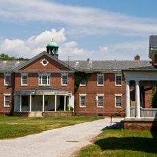
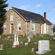
In 1874, an important early public school opened here, serving as the first high school in the county. The building that housed the school was previously a church, showing how communities repurposed spaces for new needs.

Location: Maryland

GPS coordinates: 39.46360,-76.82560

Latest update: December 14, 2025 14:20

Photos
Around this place
The Cloisters
United States of America

The Cloisters

14.5 km
Baltimore Country Club
United States of America

Baltimore Country Club

14.2 km
Sudbrook Park
United States of America

Sudbrook Park

13.6 km
Fort Garrison
United States of America

Fort Garrison

12.4 km
Worthington Valley Historic District
United States of America

Worthington Valley Historic District

7.3 km
Brooklandwood
United States of America

Brooklandwood

13.3 km
Green Spring Valley Historic District
United States of America

Green Spring Valley Historic District

11.1 km
Stone Hall
United States of America

Stone Hall

12 km
Choate House
United States of America

Choate House

9.8 km
Warfield Complex, Hubner, and T Buildings
United States of America

Warfield Complex, Hubner, and T Buildings

15 km
Rockland Historic District
United States of America

Rockland Historic District

15.2 km
Caves Valley Historic District
United States of America

Caves Valley Historic District

7.1 km
Wesley Chapel Methodist Episcopal Church
United States of America

Wesley Chapel Methodist Episcopal Church

13.3 km
Rockland
United States of America

Rockland

14.9 km
Glyndon Historic District
United States of America

Glyndon Historic District

1.8 km
Moses Brown House
United States of America

Moses Brown House

12.1 km
Granite Historic District
United States of America

Granite Historic District

13.5 km
The Meadows
United States of America

The Meadows

7.3 km
Wester Ogle
United States of America

Wester Ogle

10.3 km
Mettam Memorial Baptist Church
United States of America

Mettam Memorial Baptist Church

13.2 km
Western Run-Belfast Road Historic District
United States of America

Western Run-Belfast Road Historic District

13.4 km
Samester Parkway Apartments
United States of America

Samester Parkway Apartments

14.9 km
Dumbarton Historic District
United States of America

Dumbarton Historic District

13.8 km
Branton Manor
United States of America

Branton Manor

9.7 km
Plinlimmon Farm
United States of America

Plinlimmon Farm

8.2 km
Beaver Dam Swim Club
United States of America

Beaver Dam Swim Club

14.6 km
Robinson-Tabb House
United States of America

Robinson-Tabb House

8.5 km
Soldiers Delight Natural Environment Area
United States of America

Soldiers Delight Natural Environment Area

5.9 km
Show the full map
Reviews

Visited this place? Tap the stars to rate it and share your experience / photos with the community! Try now! You can cancel it anytime.

« Reisterstown Historic District - Historical district in Reisterstown, Maryland » is provided by Around Us (aroundus.com). Images and texts are derived from Wikimedia project under a Creative Commons license. You are allowed to copy, distribute, and modify copies of this page, under the conditions set by the license, as long as this note is clearly visible.

Discover hidden gems everywhere you go!

From secret cafés to breathtaking viewpoints, skip the crowded tourist spots and find places that match your style. Our app makes it easy with voice search, smart filtering, route optimization, and insider tips from travelers worldwide. Download now for the complete mobile experience.

Around Us App Screenshot

A unique approach to discovering new places

Le Figaro

All the places worth exploring

France Info

A tailor-made excursion in just a few clicks

20 Minutes