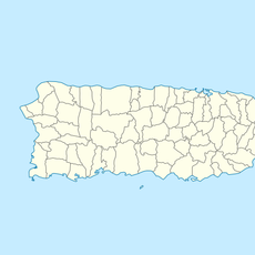
Salinas, municipality in Puerto Rico
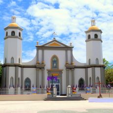
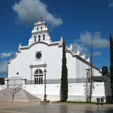
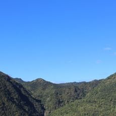
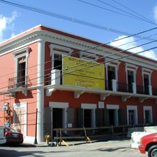
Salinas is a coastal town on the southern shore of Puerto Rico with a population of about 26,000 residents. The town is divided into eight neighborhoods, with the central area called Pueblo containing the main square, local shops, and a traditional Catholic church.
The town was founded in 1841 by Agustín Colón Pacheco, who played a key role in shaping the community. Over the decades, it maintained its fishing heritage and became an important center for seafood and local crafts.
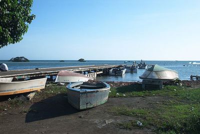
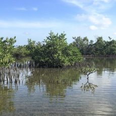
The town's identity centers on its maritime heritage and fishing traditions that remain visible in daily life. Colorful boats in the harbor and family-run seafood restaurants reflect how deeply the community's customs are rooted in the sea.
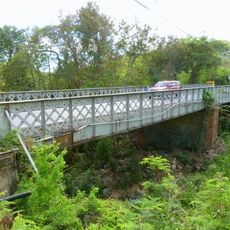
The town is about 50 miles from San Juan and takes roughly an hour and a quarter to reach, making it accessible for day trips. Once there, visitors can move around easily on foot or by car, since the streets are straightforward to navigate.
The town carries the name La Cuna del Mojito Isleño, which means birthplace of the island dip, and this special mojo isleño seasoning gives local seafood dishes their characteristic tangy flavor. The Albergue Olímpico sports complex features an athletics museum, botanical garden, and water park that offer an unexpected blend of local sports heritage and recreation.
The community of curious travelers
AroundUs brings together thousands of curated places, local tips, and hidden gems, enriched daily by 60,000 contributors worldwide.