Roosevelt Island Tramway, Urban aerial tramway in Upper East Side, Manhattan, United States
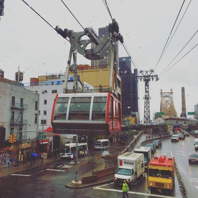
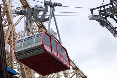
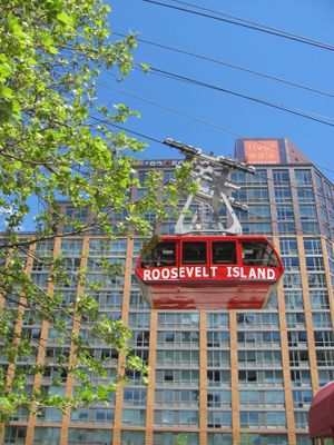
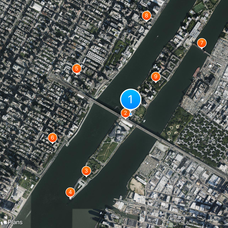
Roosevelt Island Tramway is an aerial cable car in Manhattan that links the eastern shore of the city to Roosevelt Island across the East River. The two red cabins run in parallel on separate cables and complete the journey in about four minutes, reaching a viewing height midway over the water.
The cable car opened in 1976 to connect island residents to Manhattan while construction of a subway line was delayed. It remained in operation even after the subway was completed in 1989 and underwent major renovation in 2010.
The cable car belongs to the Metropolitan Transportation Authority system and lets riders use the same tickets as they would for subway or bus trips. Many New Yorkers ride it as a daily commute to work or home, while visitors enjoy the view during the short crossing.
Cabins run continuously in both directions, so wait times are usually just a few minutes except during morning and evening rush hours. On windy days the ride may sway a bit, but service only stops during extreme weather conditions.
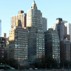
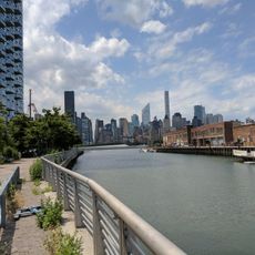
Each cabin hangs from its own cable, so service can continue if one cabin needs maintenance or breaks down. The ride offers a view of the Queensboro Bridge and the Midtown Manhattan skyline from up to 76 meters (250 feet) above the river.
The community of curious travelers
AroundUs brings together thousands of curated places, local tips, and hidden gems, enriched daily by 60,000 contributors worldwide.