Chest opened
+${chestReward.xp} XP
Explorer
NOUVEAU ×${chestReward.collectible.quantity}
tapez pour fermer

See the monuments around you in AR Open chests in the app

Around Us is built for your phone — point your camera at the streets and discover the monuments and places around you in augmented reality. Around Us is built for your phone — chests unlock when you walk, explore and capture nearby places.

Enable Location

We need your location to show you interesting places around you

Discover nearby places

Find interesting locations and hidden gems around you

Precise directions

Get accurate directions and distances to places

Your location is never shared with other users. It's only used when you tap the location button.

Anable Basin

Log in to your account

Start exploring — it's free

Trusted by 86,123 travelers worldwide

Continue with Google
Continue with Apple
or

We will send you a code to connect

By continuing, you accept our Terms and Conditions and our Privacy Policy

Check your inbox

We've sent a pincode in your inbox. Please enter the code below.

Anable Basin
Discussion Reviews 1 Photos
4k Popularity

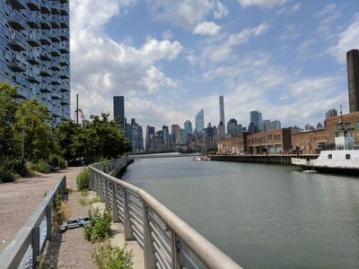
Anable Basin, Industrial inlet in Long Island City, US

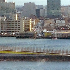
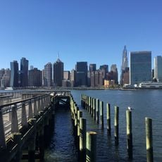
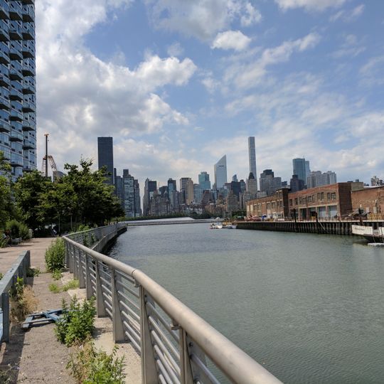
Anable Basin is a waterfront inlet extending from the East River into Long Island City, offering a narrow passage of water surrounded by converted industrial buildings. The area features waterfront establishments, outdoor spaces, and a mix of old industrial structures alongside newer buildings facing the water.

The basin was created in 1868 under the financing of Henry Sheldon Anable to support industrial and shipping operations. Over more than a century, the area transformed from purely industrial use to a mixed neighborhood combining residential, cultural, and recreational spaces.

Artists and creative spaces have moved into this former industrial zone, turning it into a place where galleries and cultural events now draw visitors looking to experience the area's evolving identity.

Access to the waterfront is seasonal and remains closed through early spring, with regular hours beginning in warmer months. The area sits within an active port zone, so visitors should watch for uneven surfaces and water-level changes along the walkways.

During excavation work in the 19th century, construction workers uncovered Ice Age animal remains, including bones from a prehistoric mastodon. This discovery revealed that the location lay beneath water for thousands of years before industrial development arrived.

The community of curious travelers

AroundUs brings together thousands of curated places, local tips, and hidden gems, enriched daily by 60,000 contributors worldwide.
Start exploring
GPS coordinates
40.74880,-73.95620
Latest update
September 12, 2026 10:03
Around this place
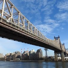
Queensboro Bridge
United States of America

Queensboro Bridge

0.6 mi
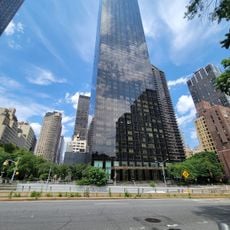
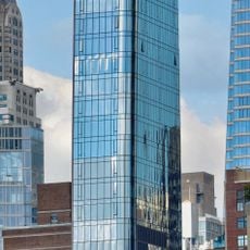
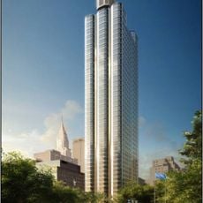
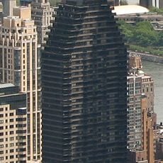
Trump World Tower
United States of America

Trump World Tower

0.6 mi
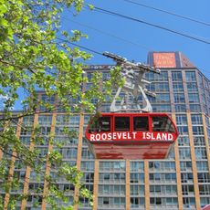
Roosevelt Island Tramway
United States of America

Roosevelt Island Tramway

0.7 mi
Turkish House
United States of America

Turkish House

0.7 mi
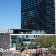
United Nations Secretariat Building
United States of America

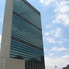
United Nations Secretariat Building

0.6 mi
United States of America

Water Taxi Beach

0.5 mi
U Thant Island
United States of America

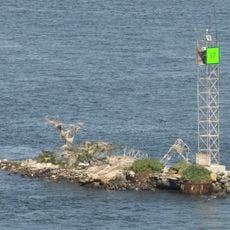
U Thant Island

0.5 mi
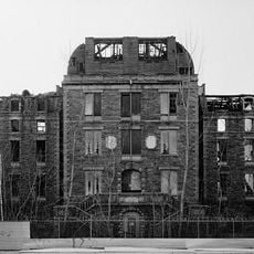
Smallpox Hospital
United States of America

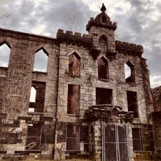
Smallpox Hospital

0.3 mi
Franklin D. Roosevelt Four Freedoms Park
United States of America

Franklin D. Roosevelt Four Freedoms Park

0.3 mi
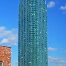
One Court Square
United States of America

One Court Square

0.6 mi
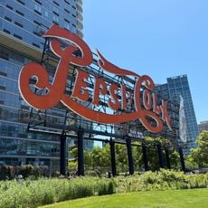
Pepsi-Cola sign
United States of America

Pepsi-Cola sign

0.1 mi
Gantry Plaza State Park
United States of America

Gantry Plaza State Park

0.3 mi
Skyline Tower
United States of America

Skyline Tower

0.6 mi
River House
United States of America

River House

0.6 mi
Pulaski Bridge
United States of America

Pulaski Bridge

0.7 mi
Dag Hammarskjöld Library
United States of America

Dag Hammarskjöld Library

0.7 mi
Japanese Peace Bell
United States of America

Japanese Peace Bell

0.6 mi
50 United Nations Plaza
United States of America

50 United Nations Plaza

0.7 mi
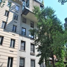
23 Beekman Place
United States of America

23 Beekman Place

0.5 mi
City Hospital
United States of America

City Hospital

0.3 mi
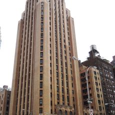
Beekman Tower
United States of America

Beekman Tower

0.6 mi
Strecker Memorial Laboratory
United States of America

Strecker Memorial Laboratory

0.3 mi
St. John the Evangelist's Church
United States of America

St. John the Evangelist's Church

0.7 mi
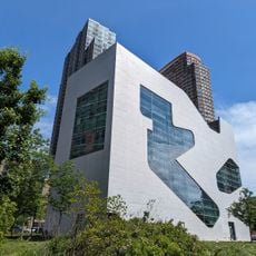
Edgar J. Kaufmann Conference Center
United States of America

Edgar J. Kaufmann Conference Center

0.7 mi
P.S. 135
United States of America

P.S. 135

0.6 mi
100 United Nations Plaza Tower
United States of America

100 United Nations Plaza Tower

0.7 mi
Hunters Point Community Library
United States of America

Hunters Point Community Library

0.3 mi
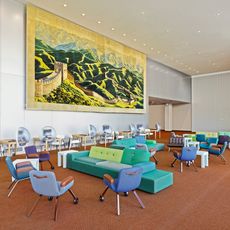
UN North Delegates Lounge
United States of America

UN North Delegates Lounge

0.6 mi
Show the full map
Reviews
Share your experience

No review yet

Discussions
Start a discussion...

No discussion yet

« Anable Basin - Industrial inlet in Long Island City, US » is provided by Around Us (aroundus.com). Images and texts are derived from Wikimedia project under a Creative Commons license. You are allowed to copy, distribute, and modify copies of this page, under the conditions set by the license, as long as this note is clearly visible.

Discover hidden gems everywhere you go!

From secret cafés to breathtaking viewpoints, skip the crowded tourist spots and find places that match your style. Our app makes it easy with voice search, smart filtering, route optimization, and insider tips from travelers worldwide. Download now for the complete mobile experience.
Around Us App Screenshot

A unique approach to discovering new places

Le Figaro

All the places worth exploring

France Info

A tailor-made excursion in just a few clicks

20 Minutes

Around Us
Travel Guide & Maps
Download

Send to your phone

QR Code
1

Open the camera app on your mobile.

2

Point at the QR code with your camera. A notification will appear.

3

Tap the notification to open the link.