
Cement City Historic District
7.7 km
Round Hill Park
11.8 km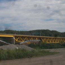
Donora-Monessen Bridge
8.2 km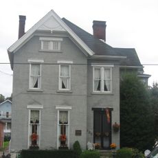
Edward G. Acheson House
2.9 km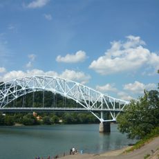
Regis R. Malady Bridge
11.5 km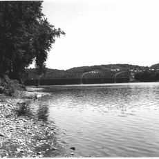
Donora-Webster Bridge
8.6 km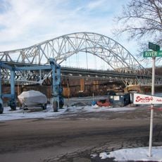
Belle Vernon Bridge
9.1 km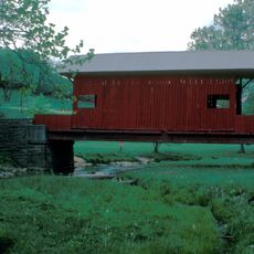
Ebenezer Covered Bridge
7.4 km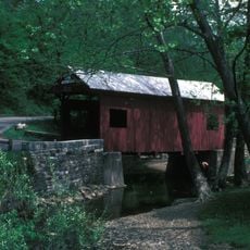
Henry Covered Bridge
5.7 km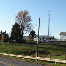
Van Kirk Farm
10 km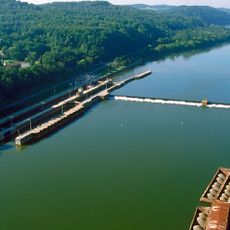
Elizabeth Locks & Dam
10 km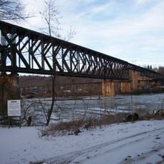
Speers Railroad Bridge
9 km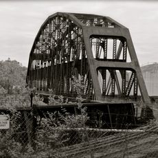
Union Railroad Clairton Bridge
14.3 km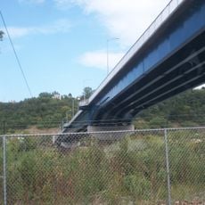
Charleroi-Monessen Bridge
5.6 km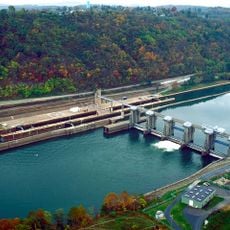
Charleroi Locks & Dam
6.3 km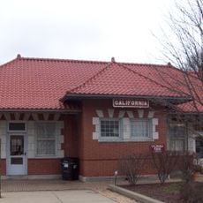
California Area Public Library
14.1 km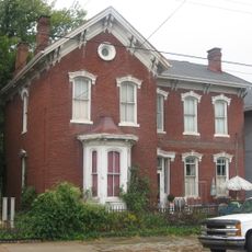
David Longwell House
3 km
Charleroi Historic District
6.6 km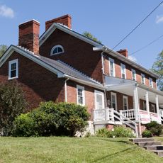
Enoch Wright House
9.6 km
Col. Edward Cook House
12.6 km
Hutchinson Farm (Elizabeth, Pennsylvania)
9.7 km
Plumer House
15.9 km
Bethel African American Episcopal Church of Monongahela City
3.1 km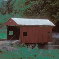
Cerl Wright Covered Bridge
8.6 km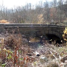
Bridge in Jefferson Borough
12.1 km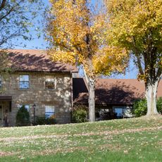
Dusmal House
7.6 km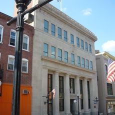
First National Bank of Charleroi
7 km
Jefferson Hills Public Library
12.7 kmReviews
Visited this place? Tap the stars to rate it and share your experience / photos with the community! Try now! You can cancel it anytime.
Discover hidden gems everywhere you go!
From secret cafés to breathtaking viewpoints, skip the crowded tourist spots and find places that match your style. Our app makes it easy with voice search, smart filtering, route optimization, and insider tips from travelers worldwide. Download now for the complete mobile experience.

A unique approach to discovering new places❞
— Le Figaro
All the places worth exploring❞
— France Info
A tailor-made excursion in just a few clicks❞
— 20 Minutes