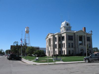
Gallatin, city in Missouri
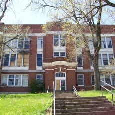
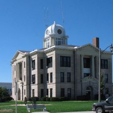
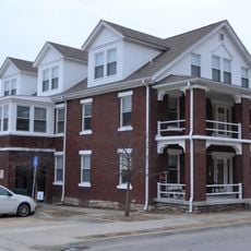
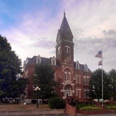
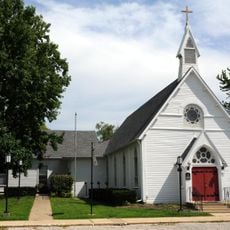
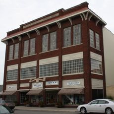
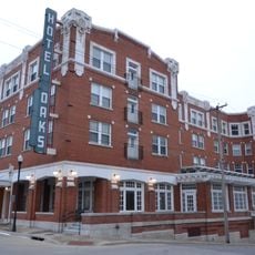
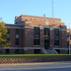
Gallatin is a small city in Daviess County, Missouri, situated in a flat, agricultural region. The city covers less than three square miles and is characterized by quiet streets, older buildings, and a few parks dotted throughout.
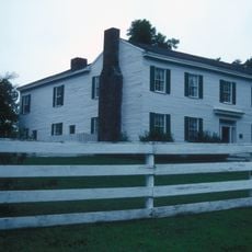
Gallatin was founded in 1837 and named after Albert Gallatin, an influential early US government official, gaining city status in 1856. The area witnessed the 1838 Election Day Battle, a conflict between voters and opponents of the Mormon community that was part of a larger religious dispute.
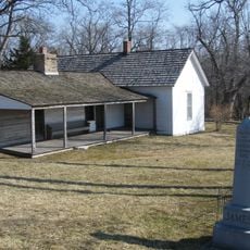
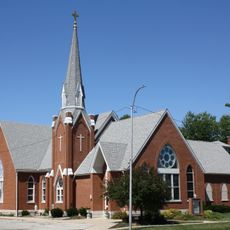
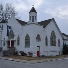
Gallatin has deep ties to Mormon religious history, as the area holds spiritual significance for members of that faith. The town reflects this connection through its historic sites and how residents understand their community's past.
Gallatin sits at the intersection of Routes 6 and 13, making it easy to reach by road. The city's small size makes it simple to explore on foot, and the Grand River lies about a mile to the east.
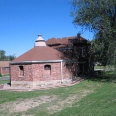
Gallatin is home to the Rotary Jail, a fascinating historic prison with a unique rotating structure that visitors can still see today. This architectural relic demonstrates an unusual security method from earlier times.
The community of curious travelers
AroundUs brings together thousands of curated places, local tips, and hidden gems, enriched daily by 60,000 contributors worldwide.